|
|
Post by kconner on Feb 3, 2013 17:18:37 GMT -5
Luke would like to start going for bike rides:  He's got some time still before he's ready for one, but if anybody has a trailer laying around that they would like to get rid of at a reasonable price, I'm interested!! |
|
|
|
Post by kconner on Jan 21, 2013 19:34:46 GMT -5
Rode a couple of laps down on the Canal Singletrack today. The muddy spot looks good! 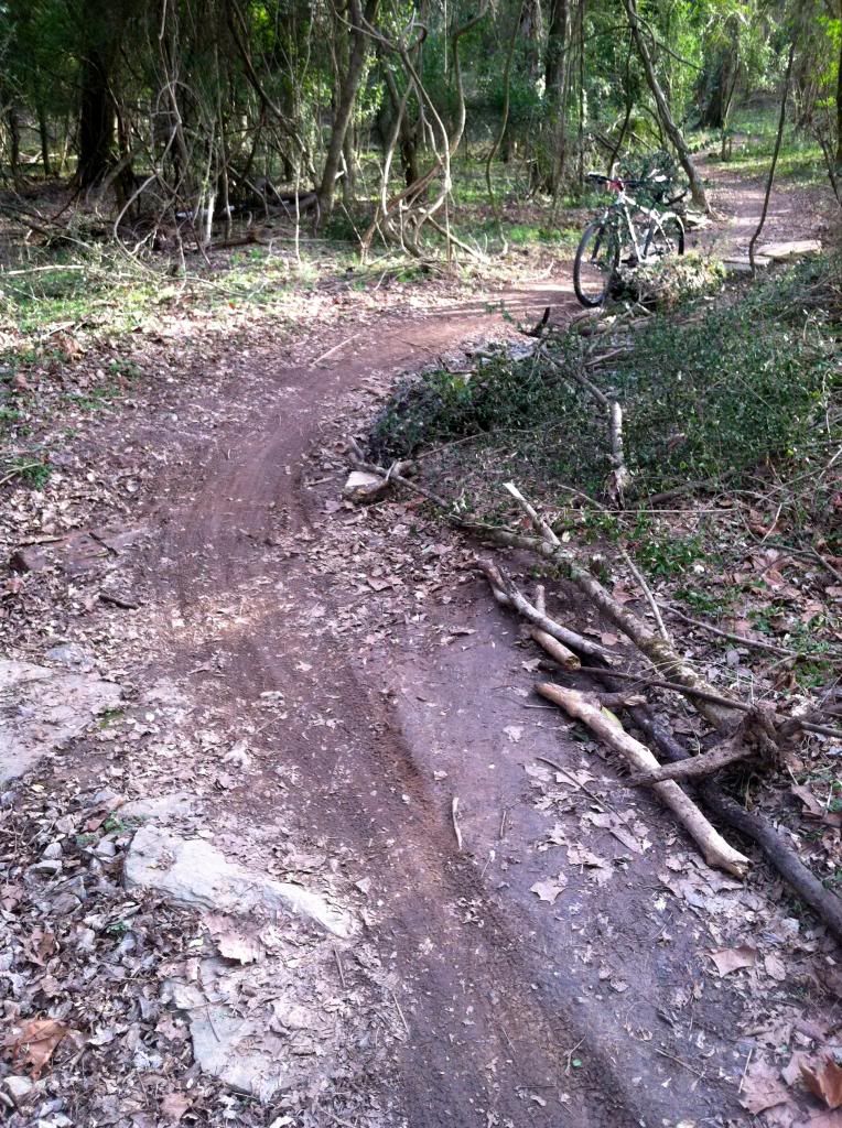 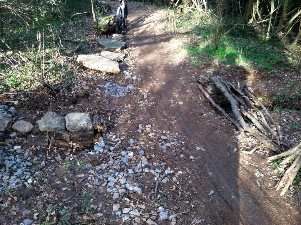 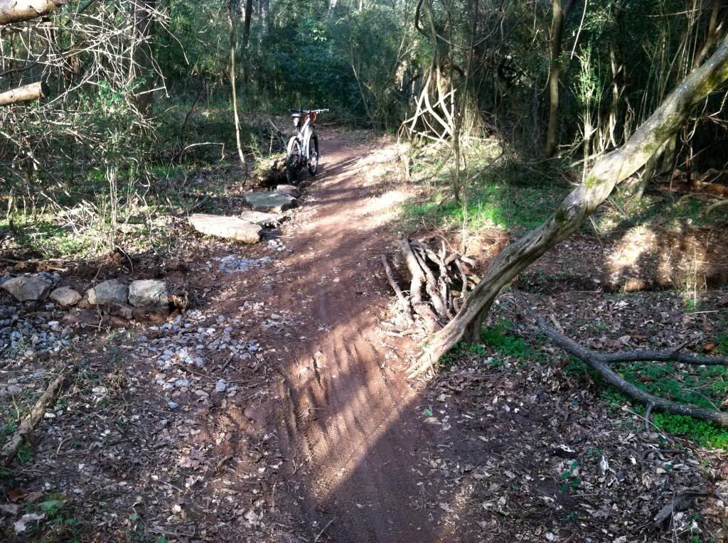 Razor's Edge, the eroded spots and the gully are all nice! Luke's first time in the saddle:  Luke still has some growing to do.... 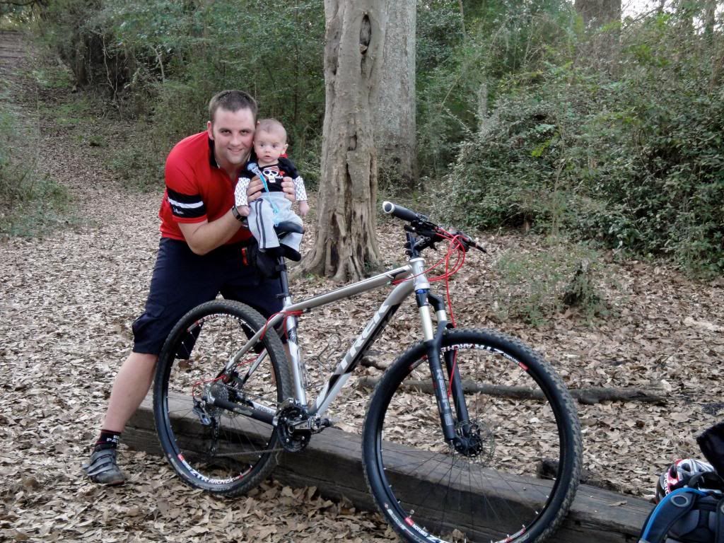 |
|
|
|
Post by kconner on Dec 22, 2012 19:03:35 GMT -5
Rode Deep Step today. The connector from the parking lot is dry. Couple (maybe 3-5, all on the southern half of the trail) of wet spots w/ standing water, most of which are armored, some damp spots, but overall, the tread is tacky to dry. Very ridable.
|
|
|
|
Post by kconner on Dec 20, 2012 18:50:23 GMT -5
2012 was a good year for me. Greatly upped the riding, but I still probably didn't ride as much as I would really like to. Participated in the Canal Crown, which was my first race, and had a blast. It was a great way to ease into a race atmosphere, and I look forward to future Canal Crown races! Also participated in the Baker's Dozen, where I learned a lot about my riding and had a blast at the same time! Went on a couple of out of town trips and rode new trails that have a different flavor than our local trails. I was also able to participate in a couple of group rides, which was fun and different for me since the vast majority of my rides are solo. The absolute best was the birth of my son, and I look forward to exposing him to cycling in the future! 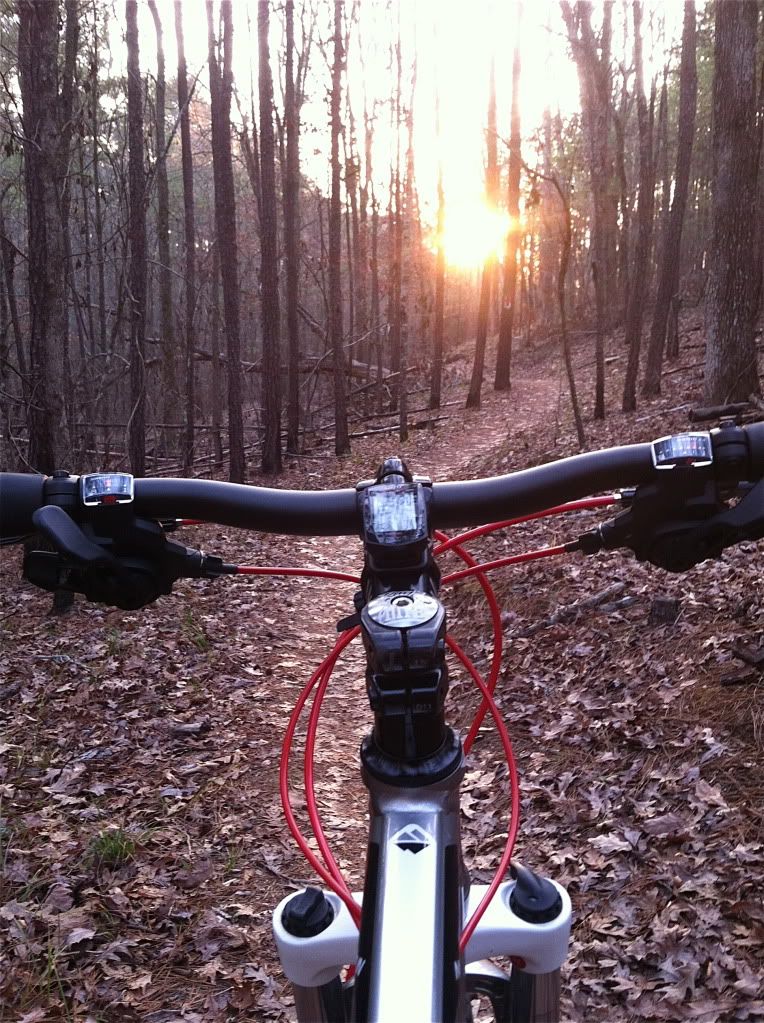 Fountainhead Regional Park (VA)  Patapsco State Park (MD)  Coldwater Mountain  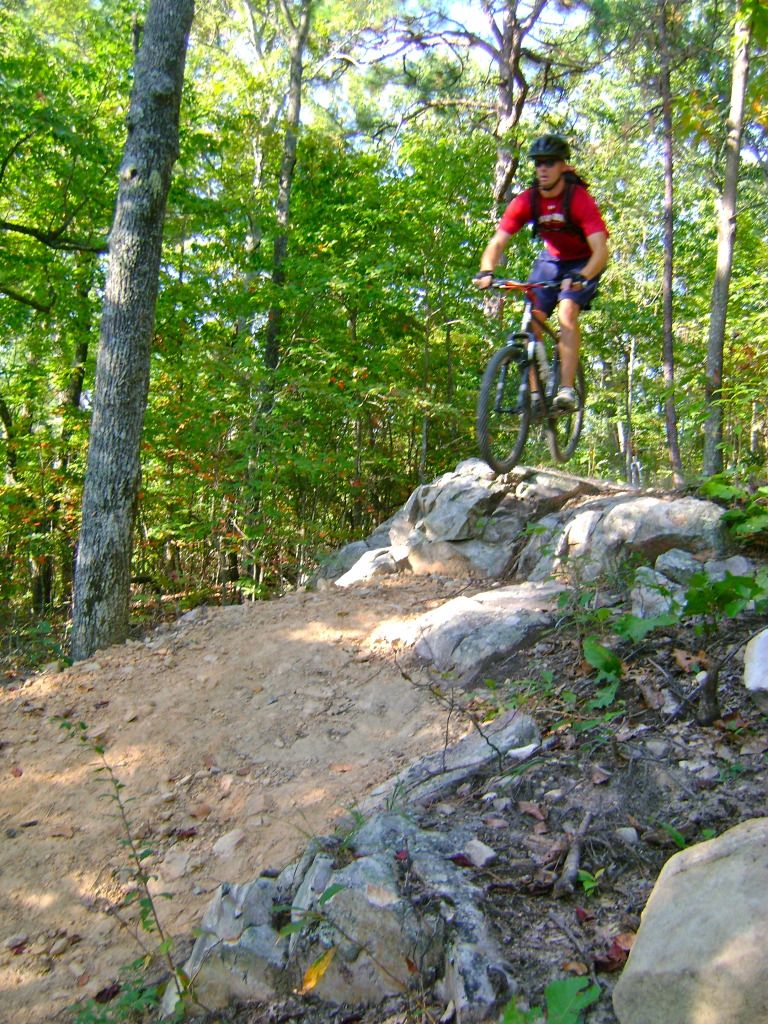 Baker's Dozen  Modoc  And the best part!  |
|
|
|
Post by kconner on Dec 10, 2012 16:37:22 GMT -5
I went for a ride the other day and also noticed skid marks in several spots, most notably in turns. I can't help but wonder if these are caused by people wanting to sling some dirt around...kind of like what you see in a lot of these awesome MTB videos on YouTube and such. Regardless, hopefully a remedy is found that can solve this problem.
|
|
|
|
Post by kconner on Dec 5, 2012 8:16:15 GMT -5
The signage is definitely pretty awesome out there. They have location markers, somewhat like what has been suggested for FATS. After talking to some locals though, they have issues with emergencies as well. While the location markers seem to work, they don't have the access that we have (FS roads) to quickly get to and remove injured riders.
|
|
|
|
Post by kconner on Dec 5, 2012 8:13:11 GMT -5
Oak Mountain is supposed to be the bom-diggity. We were planning on doing Oak when we were up there a couple of months ago, but ended up doing Sylaward instead. Sylaward is okay, but I wish we would've done Oak instead, especially after reading Angela's post. We also hit Cheaha State Park, but had to turn around ~1 mile into the trail due to a foot injury. Cheaha looked very promising, very rocky and techy....too bad we couldn't ride the whole thing.
|
|
|
|
Post by kconner on Nov 10, 2012 21:41:35 GMT -5
looks like I'm out for either of these rides.
|
|
|
|
Post by kconner on Nov 8, 2012 16:00:39 GMT -5
I'm going to try to make this ride, but will likely only ride Mistletoe.
|
|
|
|
Post by kconner on Nov 2, 2012 13:06:28 GMT -5
We cleared 4 of the small logs last night. Rode it again today to find that all the logs on Skinny & Brown Wave had been cleared, including the big one on upper Skinny with the walk around. Thanks, we had a great ride! |
|
|
|
Post by kconner on Nov 1, 2012 19:44:20 GMT -5
Rode Skinny and Brown Wave today; 5 trees down between the two trails. 3 on Brown Wave (can't remember locations), 2 on Skinny. Only one should require a chainsaw, and it's located on Upper Skinny and if I remember right, it should be easily accessible from Crafton Cemetery. All the other trees are small and can be easily removed with a hand saw. I plan on trying to get out sometime next week and remove what I can with a hand saw unless someone beats me to it.
|
|
|
|
Post by kconner on Oct 16, 2012 9:40:10 GMT -5
The 5 Hour Energy people brought some by the firehouse several months ago....they probably left about 30-40 bottles, so I tried one. Tasted horrible, and I was asleep within 30 minutes. I mean passed out snoring on the recliner in the middle of the day asleep. I'll never spend money on a 5 Hour Energy or any other energy drink for that matter. Interesting point that I had never thought of was that I was taking in a good deal of caffeine at that point...sweet tea and Coca Cola were my hydration staples at the time. The energy drink trend at work went something like this: Red Bull to Full Throttle to 5 Hour Energy (briefly) and now to Mio. IMO, none of them work. Snickers however, works wonders for me  |
|
|
|
Post by kconner on Oct 15, 2012 19:23:46 GMT -5
Date, times and location?
I'm going to be working, but hope to make it there to watch at least for a little while.
|
|
|
|
Post by kconner on Oct 9, 2012 8:12:43 GMT -5
I'm interested in doing part of either one of these rides, but not the whole ride. It would have to be before mid to late November for me to attempt it though.
|
|
|
|
Post by kconner on Sept 30, 2012 1:36:52 GMT -5
Headed up to Anniston, Alabama this weekend for a wedding, so I loaded up the bikes and met a buddy of mine from Virginia to hit up this trail that I've heard so much hype about. Arrived in town, checked into the hotel and had the wife drop us at the trailhead. After talking to a local, I found out that only the first phase (10 miles) of a 5+ phase master plan has been completed (60-70 miles total, depending on your source). From what I saw and rode, they better be thinking about expanding their parking lot The tread is sandy and rocky throughout the trail with some nice rock gardens, but it's buttery smooth at the same time. You are welcomed with a ~1 mile downhill, followed by a nice ~3 mile climb. Nothing too steep, but a good cardio workout. After turning off an old roadbed (the trail only follows it for a few hundred feet), hold on! ~3 miles of flow full of berms, rock drops, whoops, rock gardens and awesome views! You can tell a lot of thought was put into this trail....all obstacles are built to last and anything remotely technical has a second line, even though the harder line flows well and is very low risk. You literally don't have to pedal for 3 miles....any uphill on this section is easily pumped through. After the downhill, you have an easy ~1 mile climb, followed by a nice ~1 mile downhill, with a ~1 mile climb out to the trailhead. Talked to some more locals, one of which gave directions to the local bike shop (we had a spoke pop on my bike that I loaned to my buddy), then blasted down the paved access road to wait for the wife to pick us up. Now for the good stuff: Lots of nice little rocks like this spread throughout the trail. I think they're meant to be used as choke points, but they're also sweet little jumps and drops!  Several nice rock gardens. All have some length and contain different size rocks, some loose (makes it fun!!) 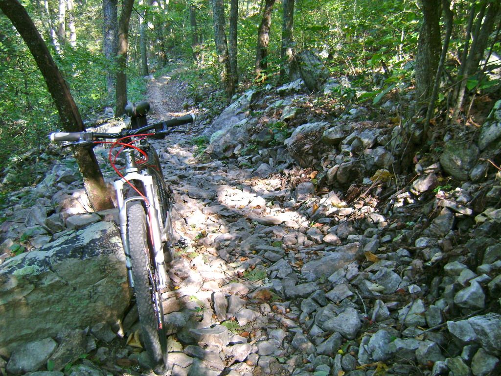 The climb up 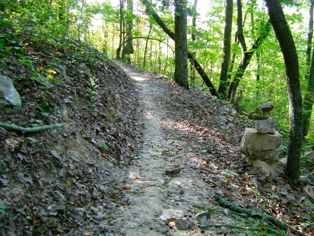 Hitting a nice drop leading into a massive swooping berm 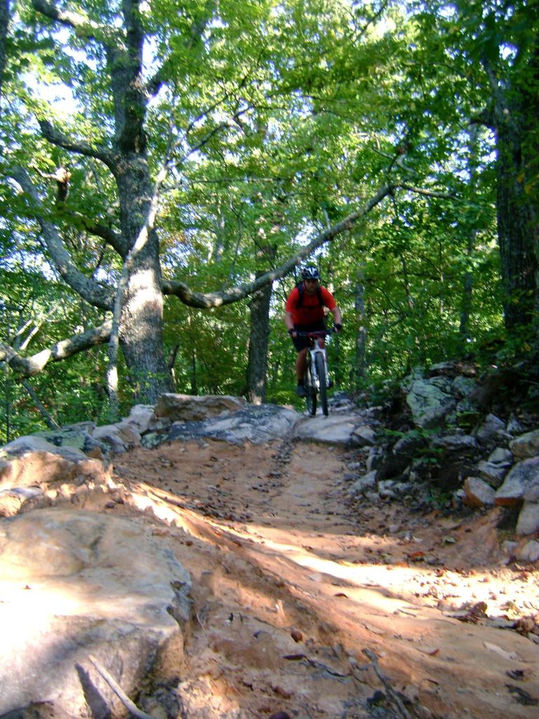 Steve "That's Dope" Cover hitting the big side of a drop, a little after the massive berm: I took the smaller side of the same drop. There's also a sweet double berm (like a tight switchback) that serves as an alternate line for this advanced line: 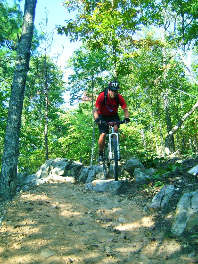 Steve railing another berm. Note the roostertail: 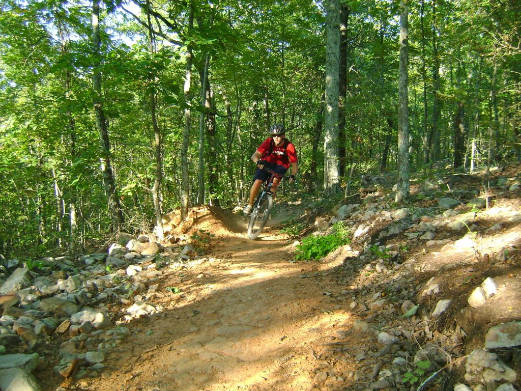 Approaching a SWEET bermed overlook: 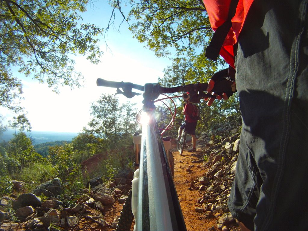 Stellar views at the overlook: 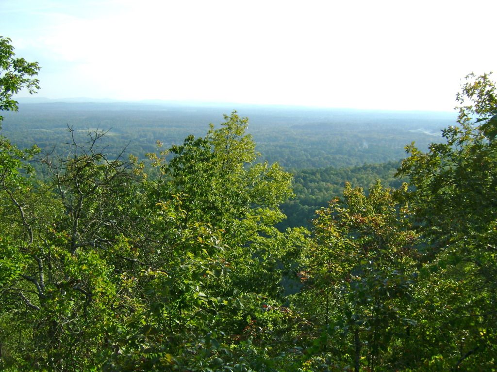 Taking it all in: Steve nailing another berm: 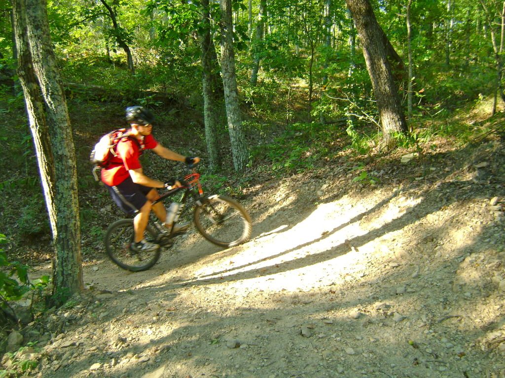 Lots of fun lines: 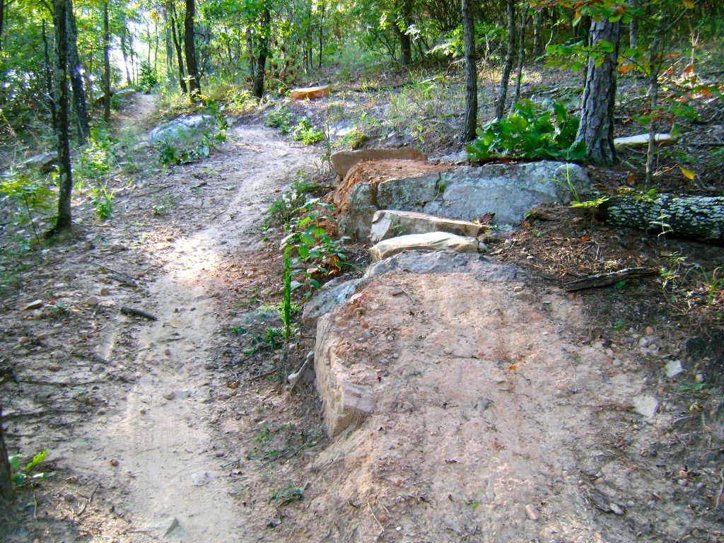 Lots of speed and twists on the paved descent from the trailhead: 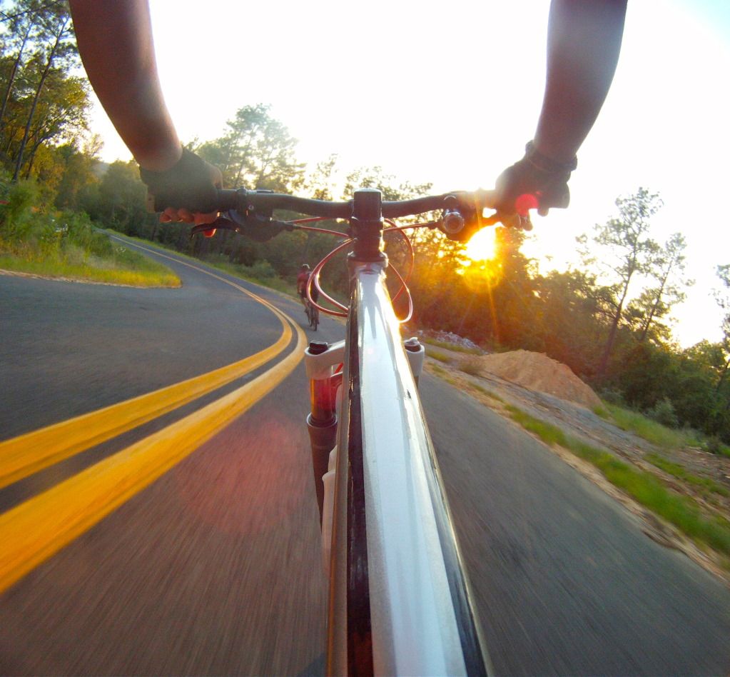 The parking lot is actually located up the hill at the trailhead, but if you have someone dropping you off, you might as well save them some gas and meet them at the bottom of the hill...make sure your brakes work! 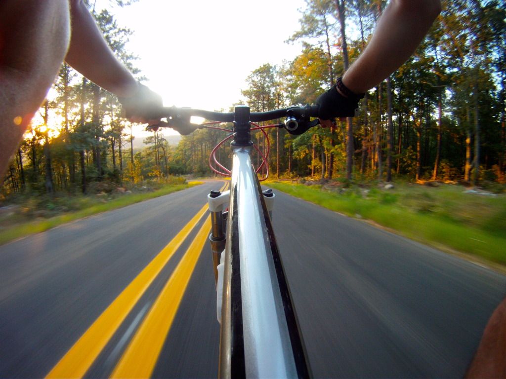 |
|
|
|
Post by kconner on Sept 29, 2012 10:57:54 GMT -5
Coldwater is everything you've heard and more. I'll be editing pics on the way home tomorrow, hopefully I'll be posting tomorrow evening.
|
|
|
|
Post by kconner on Sept 13, 2012 6:28:25 GMT -5
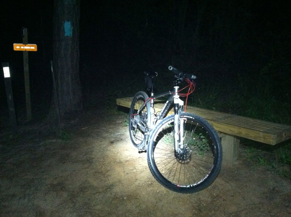 Got out for my first night ride of the season, rode Skinny. Perfect weather! |
|
|
|
Post by kconner on Sept 9, 2012 20:41:58 GMT -5
Nice, looks like a fun place to ride! So the wheels didn't fold up like the guy in that video I assume lol. Nope, performed beautifully! Cool! I lived near there up until I moved to GA in Feb. The trails were mostly closed for rehab or mud the entire 5 months I lived there. However, I was there over Labor day weekend and LOVED it. It's a nice step up from what we have here as far as intensity or thrills per mile go. We have it great here but a little more trail bling could be fun. I suspect I'll be in that area about every other month from here on out while I visit the squaw. She's racing there today in the Cranky Monkey Series. Stan Yeah, they definitely have way more terrain and natural features (rocks/roots) to play with, and the skinnies and ledges are a nice touch too. We stopped and talked with some of the guys setting out tape and arrows for the race, it should be a fun one. It rained pretty hard yesterday afternoon and I believe they ended up moving the race to next weekend. Hopefully she's still able to race then! |
|
|
|
Post by kconner on Sept 8, 2012 16:41:39 GMT -5
Packed up and drove over to Fountainhead Regional Park in Virginia today. I was promised the best ride of my trip today, and Fountainhead doesn't disappoint! www.fountainheadproject.org/index.php?option=com_content&view=frontpage&Itemid=84Fountainhead started as hiking trails and deer trails that the local MTB club was able to gain access to for riding. Much of the original trail was technical, but unsustainable fall line trail that had become eroded over the years. Phase 1 of 3 was recently completed earlier this year and turned the trail system into a stacked loop system, as well as correcting many of the erosion problems and adding several miles to the original length. The Green Loop is a short beginner entrance/exit loop with some small berms and quickly hooks up with the Blue (intermediate) Loop, which is chock full of berms, whoops, ledge drops and incredible flow. The Black (advanced) Loop is old school singletrack with roots aplenty and more rocks than you can shake a stick at. And now for the good stuff (I apologize in advance, some are blurry): Ledge drops on the Blue Loop: 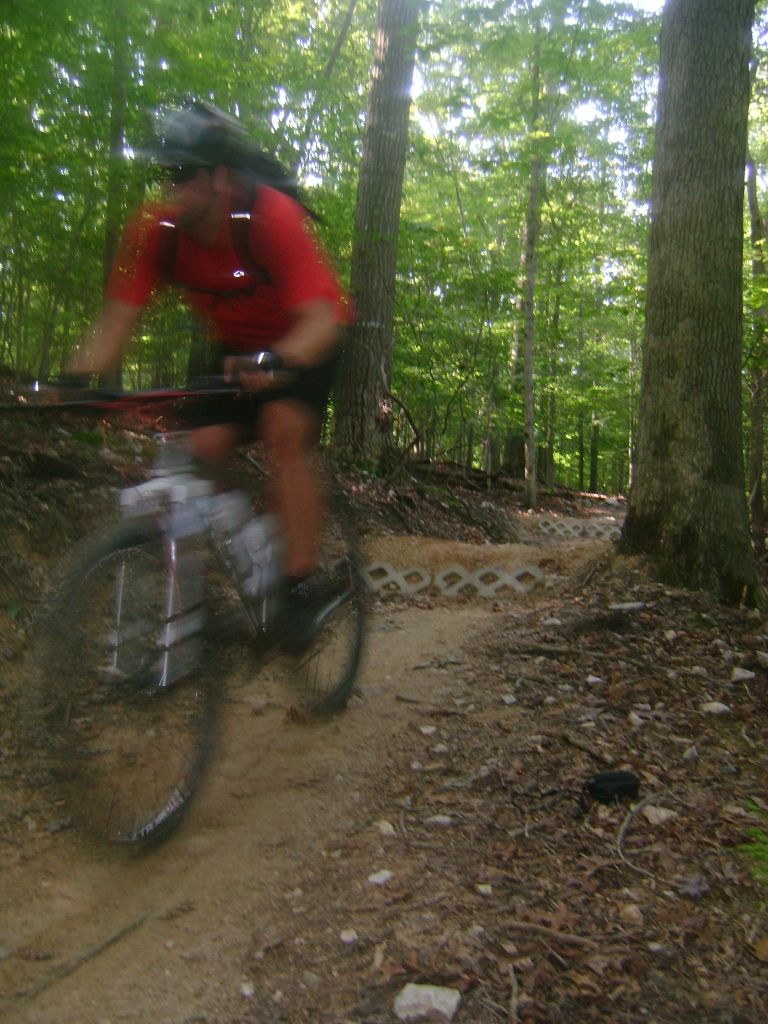 Huge ledge drop...the landing slopes away, giving you an amazing amount of flot time: 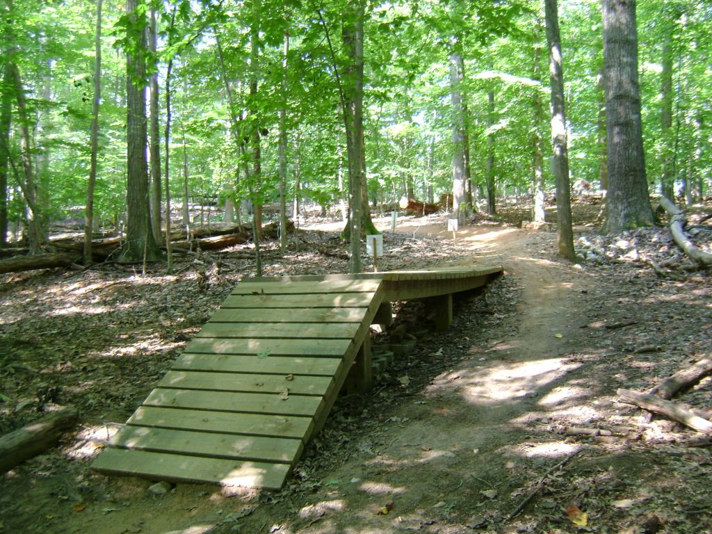 And after I conquered it: 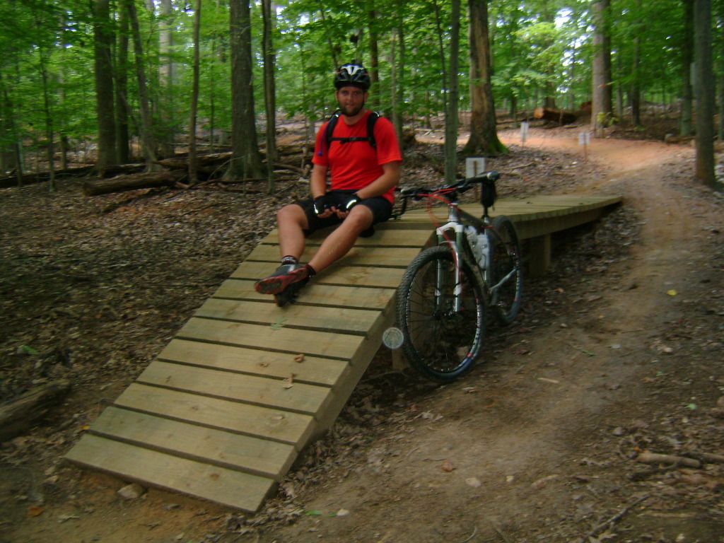 Sweet rocky section on the Black Loop: 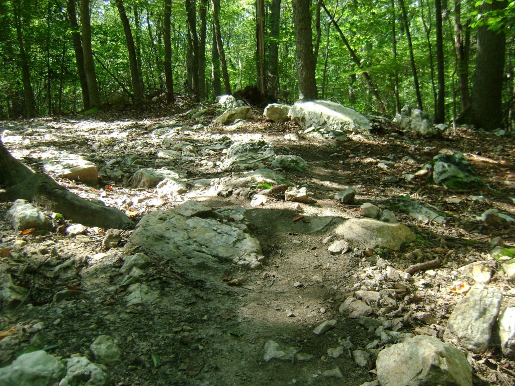 Hone your skills on this practice log: 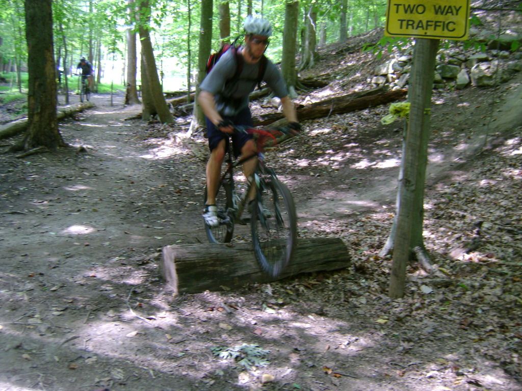 And the log ride: 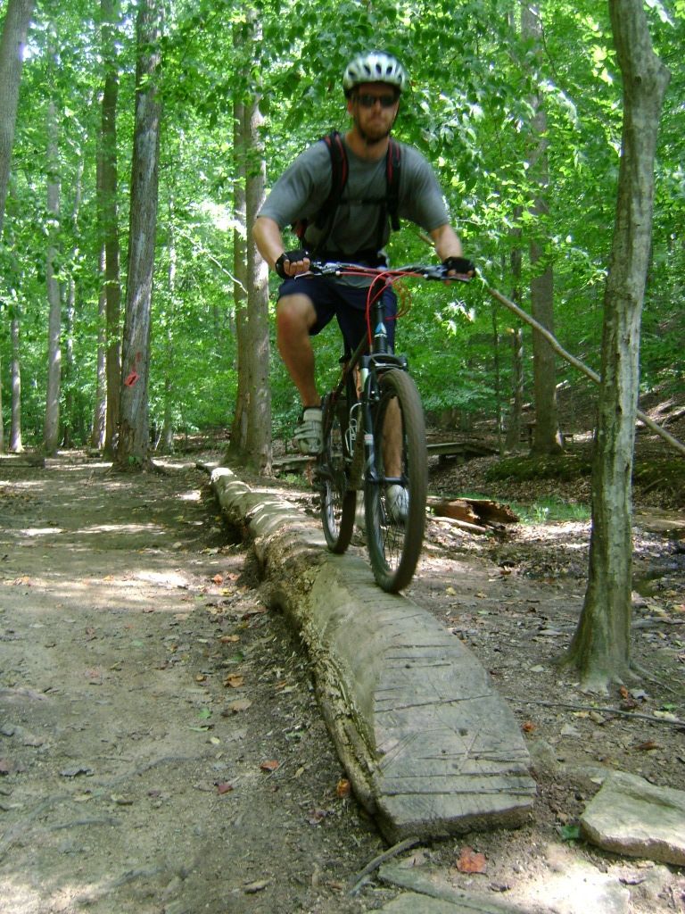 Climb up a lungbuster to some skinnies: 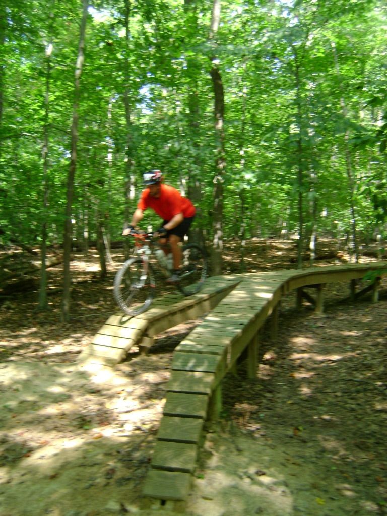 Again: Shock-a-billy Hill is an alternate advanced line at the end up the Blue Loop. You can't tell from this picture, but when riding towards the camera, the top of the hill looks like a sheer cliff, and quickly drops about 50 feet by way of several drops. This line is stupid insane. 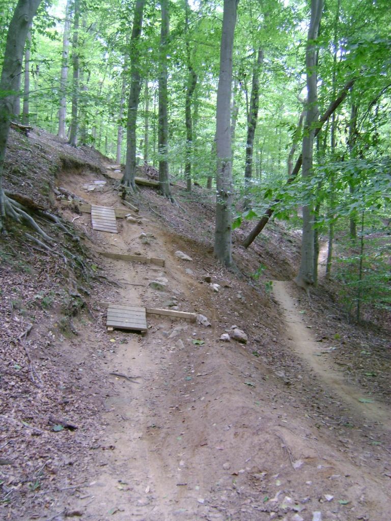 This is an incredibly well maintained and well signed trail. In comparison to local trails, it has elements of FATS (green and blue trails) and Keg Creek (black trail) and is a must see if you're in Northern Virginia. |
|
|
|
Post by kconner on Sept 7, 2012 20:45:01 GMT -5
Got some rain yesterday, so we avoided the trails and did some whitewater kayaking and used it as a recovery day. Today we hiked Old Rag Mountain, just to mix it up a bit. www.hikingupward.com/snp/oldrag/ Roughly 8-9 mile hike with 2,510 feet of elevation gain to a summit at 3,200 ish feet. Steep lungbusting hike with an awesome boulder scramble. Bottom looking up: 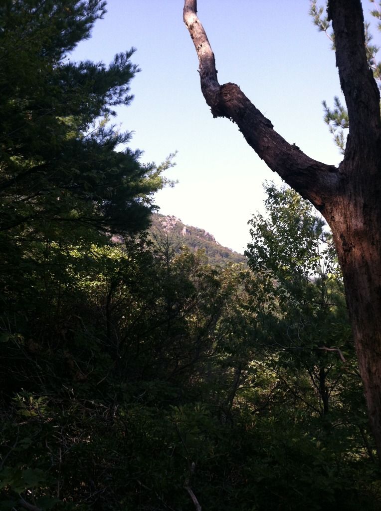 Working down a 12' gap in the rock: 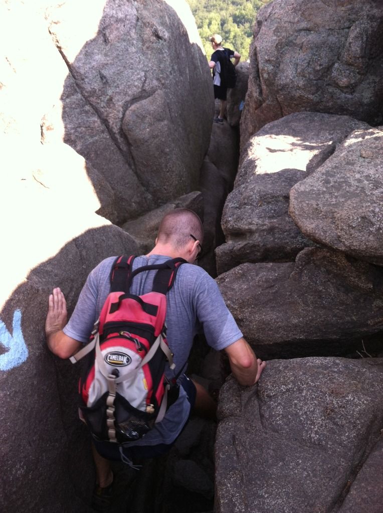 Nice views aplenty: 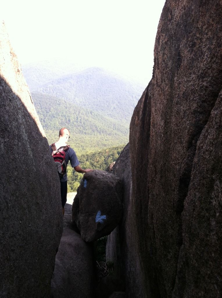 Natural rock staircase: 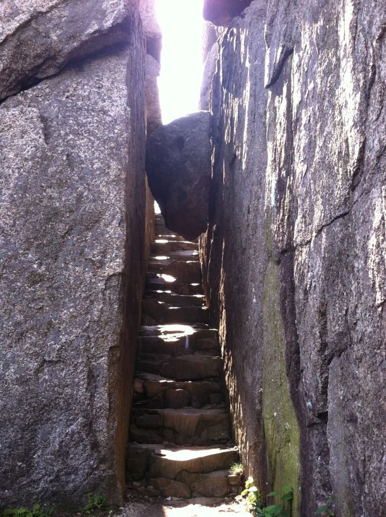 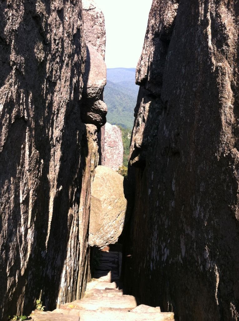 Taking in the view: 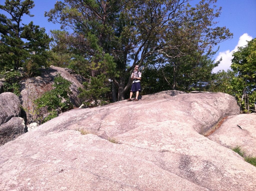 And the top: 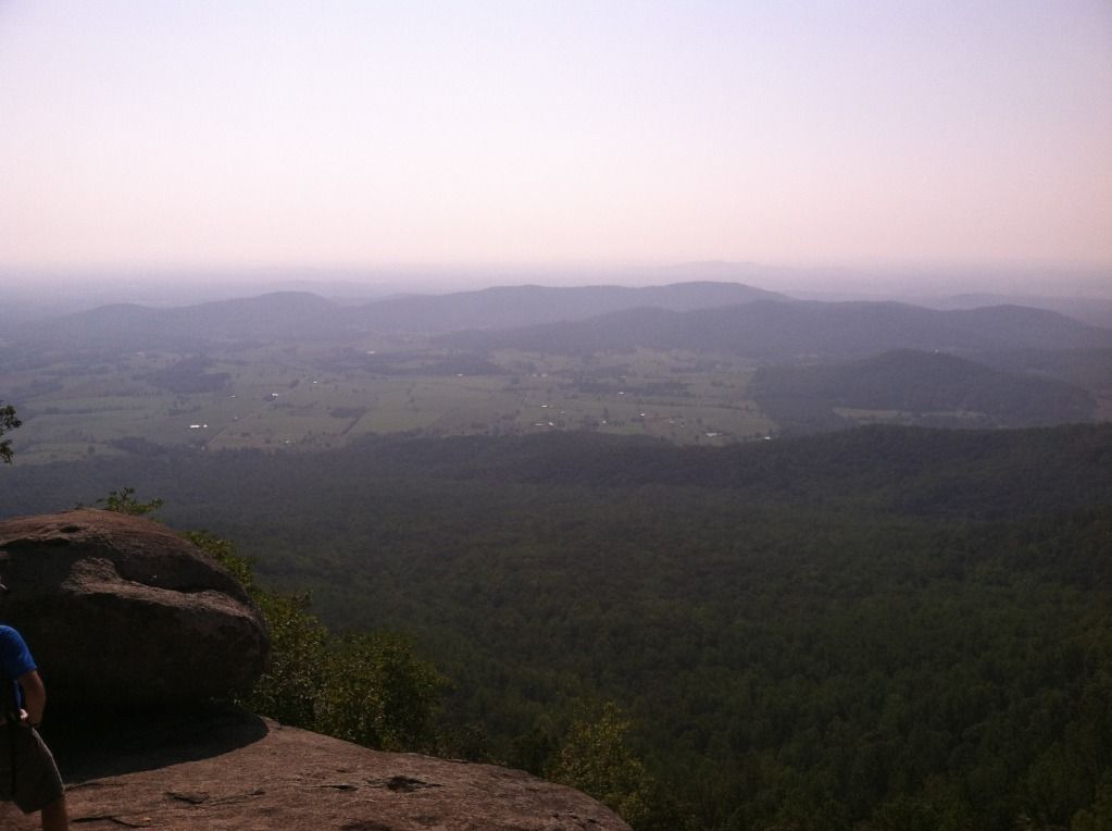 |
|