|
|
Post by seenvic on May 1, 2008 9:25:57 GMT -5
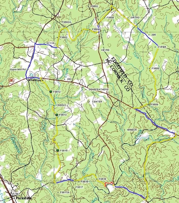 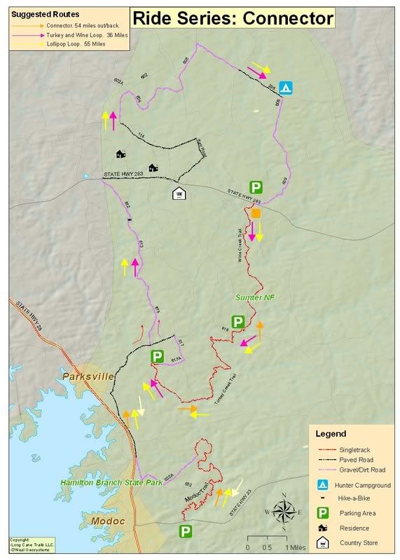 Above are two maps I made several years ago. The slick looking one was done by a friend in KY with data I supplied him. These are two similar routes that make for good wet day rides in the Turkey Creek area. The connection b/n FS 613 and FS 612 is a mandatory hike a bike. If you ride to the end of FS 613, keep riding as far into the woods as you can. Then dismount, and walk to the creek crossing. Cross the creek and walk your bike about 100 yards and you will come to the end of FS 612. From here there are several ways to get over to Wine Creek trailhead. One is to shoot straight down HWY 283. There others are shown on these maps. Feel free to ask questions. |
|

