|
|
Post by dgaddis1 on Jan 26, 2015 8:10:04 GMT -5
Did 40 miles with Ross on Saturday, lots more pavement than we wanted thanks to some unexpected detours and bad Google map information (hint: roads shown with no name, may or may not exist as shown on the map). Still, a few sections of choice dirt, and a good solid 3hrs of turning the cranks. Key bridge, the perfect starting point for most rides in Sumter National Forest. 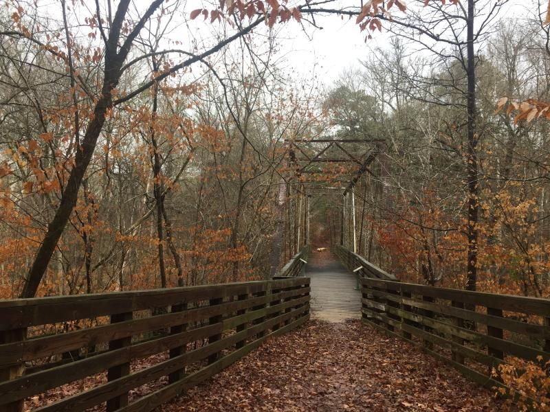 Pretty early in the day we were supposed to cross this creek (which is between two dead ended forest service roads) but it was well over 2ft deep and we didn't feel like getting soaked, so we detoured around it. 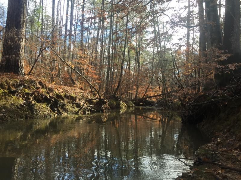 This road rocks. 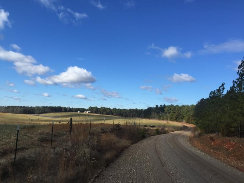 Another cool bridge 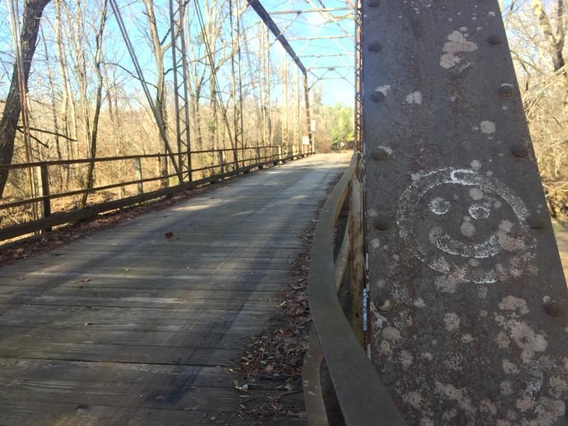 |
|
|
|
Post by kconner on Jan 26, 2015 21:12:35 GMT -5
Looks like a nice route! That's a fun creek crossing when it's warm and/or when the water is down....was the water up and over the rocks a few yards downstream from where the two roads would connect if they didn't dead end?
The road by the field is one of my favorites that I've come across....
Where's the smiley face bridge?
|
|
|
|
Post by dgaddis1 on Jan 27, 2015 8:52:06 GMT -5
Looks like a nice route! That's a fun creek crossing when it's warm and/or when the water is down....was the water up and over the rocks a few yards downstream from where the two roads would connect if they didn't dead end? The road by the field is one of my favorites that I've come across.... Where's the smiley face bridge? Yep, the rocks were all under water. There's also a couple of trees that fell across in that spot, you can almost use them to get across but it looked super sketchy. The bridge is a little ways after the field, when you hit a tee on Iron Bridge Rd you take a left and it's at the bottom of the hill. It's cool! |
|
|
|
Post by kconner on Jan 27, 2015 18:08:58 GMT -5
Well, I've been across that bridge then, I just don't remember it.
If the trees you're talking about are the ones I'm thinking about, then yeah, that's super sketchy....I wouldn't wanna cross those either!
|
|