|
|
Post by dsquaredmsquared on Mar 1, 2013 11:26:43 GMT -5
*** Wine Creek - USFS prescribed burn - Sunday March 3, 2013 *** Weather permitting, the USFS will conduct a prescribed burn around the Wine Creek trail area on Sunday March 3, 2013. The burn will encompass the area from SC Hwy 283 to Key Road ( Google map of Turkey/Wine Creek) If the burn occurs, the Wine Creek trail will be closed for several days - until the USFS deems the trail safe to reopen. Stay tuned... |
|
|
|
Post by hikerdude on Mar 4, 2013 23:57:09 GMT -5
Did the prescribed burn at Wine Creek go as planned? If so, when will the trail be open?
|
|
|
|
Post by dsquaredmsquared on Mar 5, 2013 10:18:29 GMT -5
Did the prescribed burn at Wine Creek go as planned? If so, when will the trail be open? I am waiting for a reply from the USFS about whether the burn occurred. I'll post when I get an answer. |
|
|
|
Post by dsquaredmsquared on Mar 5, 2013 10:50:36 GMT -5
Did the prescribed burn at Wine Creek go as planned? If so, when will the trail be open? The prescribed burn DID NOT take place on Sunday as planned, so the Wine Creek trail should be open as usual. |
|
|
|
Post by brianW on Mar 5, 2013 20:30:31 GMT -5
They did burn in the area of FATS on Monday 3/4/13.
|
|
|
|
Post by Angela on Mar 6, 2013 17:59:27 GMT -5
What area of FATS did they burn??
|
|
|
|
Post by dsquaredmsquared on Mar 6, 2013 21:46:35 GMT -5
What area of FATS did they burn?? The USFS did not mention any other prescribed burns in our area. |
|
|
|
Post by kconner on Mar 7, 2013 16:08:37 GMT -5
Drove down Hopewell Church Road/Deep Step Road today and noticed they burned the north side of the road, roughly from Hwy 28 to roughly where FS 660E (the road to Furys Ferry Boat Ramp) comes out. They were also doing burns today, one down FS660E by the boat ramp, and another further up Hwy 28 on the river side of the road. Didn't look like any of these prescribed burns would affect any trails.
|
|
|
|
Post by dsquaredmsquared on Mar 12, 2013 12:04:38 GMT -5
The area from Key Bridge toward S.C. Hwy 283, including the Wine Creek trail, was burned yesterday (03.11.13). As is typical of prescribed burns involving trails on USFS land, the Wine Creek trail has been closed by the USFS while they inspect for snags, deadfall, etc.
|
|
|
|
Post by dsquaredmsquared on Mar 14, 2013 9:40:33 GMT -5
The area from Key Bridge toward S.C. Hwy 283, including the Wine Creek trail, was burned yesterday (03.11.13). As is typical of prescribed burns involving trails on USFS land, the Wine Creek trail has been closed by the USFS while they inspect for snags, deadfall, etc. I just received another message from the USFS and, upon clarification, it appears that they burned the area south and southwest of Key Bridge earlier this week, which would include Turkey Creek Trail. This area will be opened tomorrow. Today, the USFS will burn the area north and northeast of Key Bridge, which includes Wine Creek Trail. Wine Creek will be closed until further notice. To recap: The Turkey Creek Trail area was burned earlier in the week and will reopen tomorrow. The Wine Creek Trail area will be burned today and remained closed until further notice. Sorry for the confusion. |
|
|
|
Post by brianW on Mar 15, 2013 5:11:21 GMT -5
Going west on Bobby Jones you could see the smoke. Will need to either ride Turkey or if open Wine this Sunday. Very weird/cool to ride through a recently burned area.
|
|
|
|
Post by dgaddis1 on Mar 15, 2013 6:46:43 GMT -5
Will the burn help keep the undergrowth down? I remember riding Turkey a while back a few weeks after a burn. It was glorious. 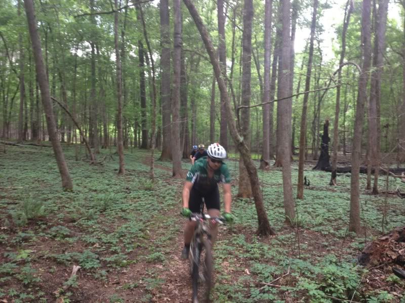 |
|
|
|
Post by dsquaredmsquared on Mar 18, 2013 9:09:41 GMT -5
I have been told by the USFS that both Wine Creek and Turkey Creek Trails should be opened today.
|
|