|
|
Post by Ross D on Dec 21, 2012 19:04:14 GMT -5
Will be doing the Carolina Gravel Grinder route in the morning leaving the Turkey/Wine creek bridge at 10:10 sharp.. 50 miles, should take us three hour.. Email me at mosovich@gmail.com if you're interested.. Was a great time last Sunday, and should be the same tomorrow..
|
|
|
|
Post by hikerdude on Dec 22, 2012 9:15:16 GMT -5
First I've heard of the Carolina Gravel Grinder. What's the route for it?
|
|
|
|
Post by jagayers on Dec 26, 2012 12:00:03 GMT -5
My computer at work doesn't show the icon to post a new thread, so I am asking the question here.
Would Bartram, Keg Creek, or Mistletoe be good to ride this afternoon around 1500 or so, given the sun and wind we have had all day? I live out in Richmond County and didn't know how much Columbia county had gotten. NO way would I even attempt FATS today.
|
|
|
|
Post by Ted S. on Dec 26, 2012 12:35:34 GMT -5
That was a pretty decent soaking, I would wait till tomorrow for single track.
Keg creek is pretty rocky rooty and should be ok
Bartram probably gonna be really muddy, I would stay off of mistletoe too.
Turkey creek always seems to hold up well to a little water
But again I'd wait till tomorrow to ride any single track.
Lots of gravel rds if just NEED to ride.
Just my opinion
|
|
|
|
Post by jagayers on Dec 26, 2012 14:17:42 GMT -5
Thanks. I'll wait till tommorrow....
|
|
|
|
Post by wooglin on Dec 27, 2012 8:32:58 GMT -5
First I've heard of the Carolina Gravel Grinder. What's the route for it? Ditto. |
|
|
|
Post by dgaddis1 on Dec 27, 2012 8:59:59 GMT -5
|
|
|
|
Post by wooglin on Dec 28, 2012 8:20:15 GMT -5
Good deal. Next chance I get I'll be out there. |
|
|
|
Post by wooglin on Jan 21, 2013 17:02:54 GMT -5
Went and played around with this some today, working north from Key Bridge. Turns out that you can take 613B from the north end of Price Road/615 down to Byrd Creek. The road ends, but the road bed goes all the way down and is completely rideable except for a couple of hand-saw size obstacles. Gotta go a little left to cross the creek and then bushwhack ~100m up the old roadbed on the other side, but then you're on gravel that connects to Plum Branch Rd. Also, right on 688 off Plum Branch, then bear left on 6883, also goes through. 6883 is closed to vehicles at the powerline, but the road keeps going past the gate. Follow that, and to a hunting stand at a hard left turn, then pick up a little single track that's behind the hunting stand. Follow that and you'll pick up 6883 again, putting you back on Prices Bridge Rd right at Key Rd. Adds a little mileage. I also took Turkey Ck trail from Key bridge to the bottom of Cedar Springs, then from Cedar Springs went left on the old 619 trace, which also goes through. That cut off a little pavement. On the way back I took 619 across Cedar Springs and picked up Turkey Creek trail right by the first bridge. Pretty day. Looks like there's more stuff north of Plum Branch Rd. Just gotta find some time. 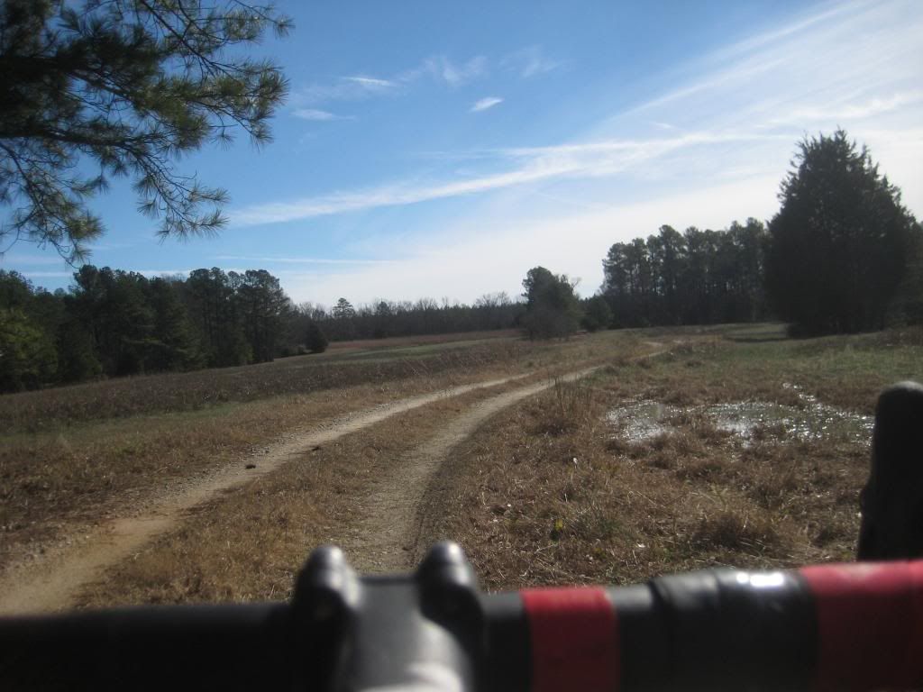 |
|
|
|
Post by Ted S. on Jan 24, 2013 12:03:38 GMT -5
Picking up 619 just past the first bridge on Turkey creek, go right where the trail goes left, and riding it straight across cedar springs(you quickly encounter a gate, stay left on the open rd(619). I believe the gate fences off some private property.) and continuing until ya pass through coon creek(careful lots of big slippery rocks, usually in about 6 inches to a foot of water) and then back on to the maintained gravel rd(619)left on 617 and then a right on 617A is great way to turn turkey creek trail into a loop about... 11 miles total. 99% ride able with one very large tree to climb over. Slightly overgrown but this time of year no big deal at all. Park at key do it in one direction, go back to car refuel etc.. head back out and do it the other way around. Good fun! Just ta change it up a little. About a bazillion ways to combine into "connector routes" last time out there: connect.garmin.com/activity/262027127#didn't ride the power lines that day, it had rained a few days earlier and looked like it was gonna be a bit muddy. |
|
|
|
Post by wooglin on Jan 24, 2013 13:13:37 GMT -5
Picking up 619 just past the first bridge on Turkey creek Yeah, that's the way I came back. I don't think there's any private property there. It skirts private property for sure, but the road is USFS I think. I'll check it out in GIS when I get a chance. --Yup, private property on one side of the road, but USFS on the other. Know the dirt roads north of Plum Branch Rd? I see some jeep trails on the quads that would be way fun if they're still there. |
|
|
|
Post by Ted S. on Jan 27, 2013 11:09:16 GMT -5
Not Familiar but interested in what ya find if you go exploring out there. Sounds like a good question for BV.
|
|
|
|
Post by brianW on Jan 27, 2013 15:36:08 GMT -5
Right after crossing Coon Creek the road splints. The one to the right is a fire break that was cut a few years back. The one to the left goes through an area that looks like it was logged ten or so years back. I stick to the fire break. On the other hand, I never saw private property signs for the road either. We're 619 comes out on 618 there is a gate right across the road. Taking this brings you to Turkey between the trailhead and were the trail comes out on 618.
BV had a 30 mile gravel/pavement loop in this area. Used Turkey Creek from Key Bridge to 619, the rest was roads. I never did it but would like to try it sometime. Connected fs rd 613b to 612 with a bushwhack and crossing a streambed. All this talk is having me want a monster cross bike.
|
|


