

Post by stumpbumper on Apr 10, 2011 14:13:57 GMT -5
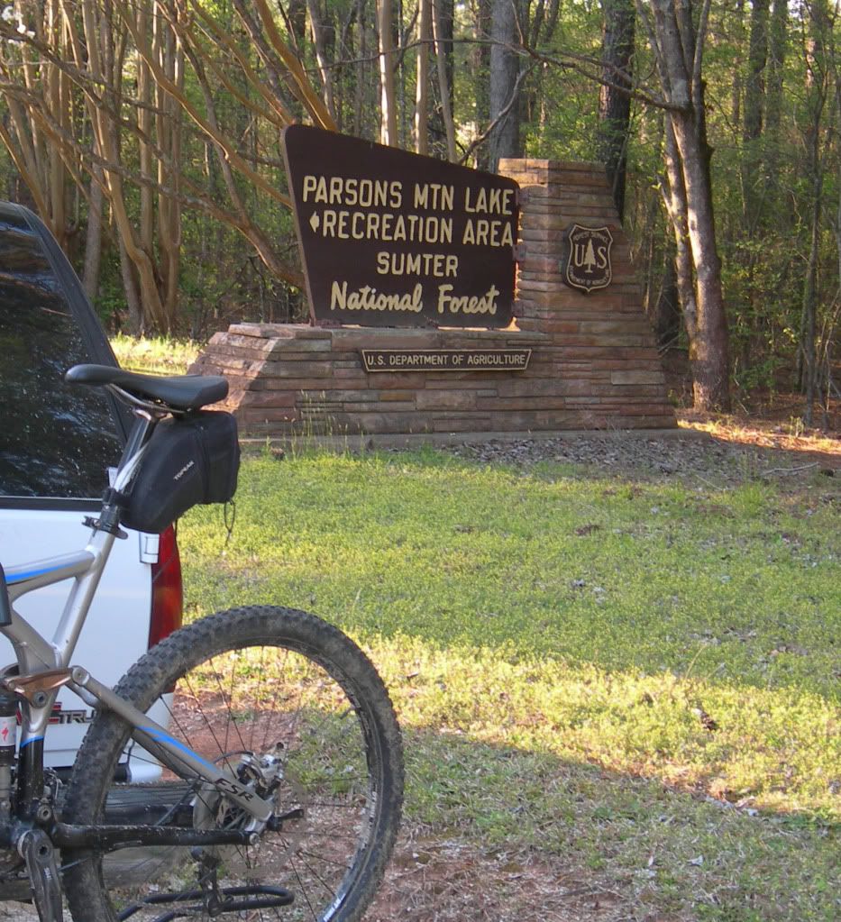
I pitched my tent on the lake at Parsons Mountain campground and rode the lower loop of the Long Cane Horse Trail clockwise from there. Not a single one of the information boards even mentioned the trail so I had to round up the caretaker for directions. Turn left off the main road of the park at the “Camping” sign, head toward the dam and the “I” point of the trail is to the left immediately after passing the “Campsites” sign. The trail sign is up in the woods just beyond a couple of picnic tables.
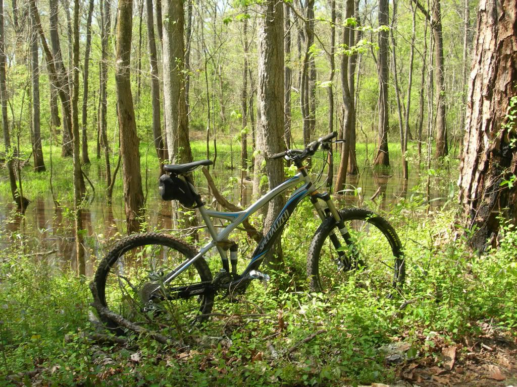
Due to the recent wind storms I encountered numerous blow-downs on the western leg of this loop and since that section is mostly used by equestrians, I doubt if they will go to the trouble of cranking up the chainsaws. Some of the trees lying across the trail are small enough for a horse to step over and rather than removing those that are too big they simply ride around them. Even though the blow-downs required about as much walking as riding, I found the “I” to “H” section as well as from there on up to Big Rock to be one of the nicest stretches of the entire north and south loops. It’s worth the effort just to be able to say you have ridden across the drooping steel bridge. A great deal of a section of the trail is known as “Land Of The Double Wide”, not due to the size of the mobile homes in the area but because the trail is wide and covered with a thick layer of gravel. While that gave it an unnatural feel, another section that also has lots of horse traffic but no gravel clearly illustrates why it is necessary. The south loop is not for the mountain biker who prefers to bomb along manicured trails in an effort to see how quickly a ride can be completed. It is for the mountain biker who just loves being in the woods on a spring day.
On the morning of the second day I drove to the 505/506 parking area (point “E” on the map) and from there I rode the north loop counterclockwise. This is by far the most popular mountain biking launch point of the entire LCHT system. A group of area cyclists depart from here weekly at 6:00 PM on Tuesday and at 2:00 PM on Sunday. I had planned to hook up with them for the Sunday afternoon ride but it simply did not work out for me. To get there from Abbeville, head toward Greenwood on Hwy 72 and turn right at Beulah Baptist Church (6.2 miles from Abbeville). Travel on Beulah Church Rd for 1.7 miles and the parking area is on the right at the intersection of FS505 & FS506.
The north loop is really what mountain biking in that part of South Carolina is all about. There were some blow-downs from the recent storm but considering how beautifully the trail is maintained by area cyclists, I doubt if they will be there for very long. The trails were in great shape and obviously drain water quite well. It had rained four or five days before I was there and yet the only wet dirt I encountered was in a few short sections where horses had torn up the trail; otherwise everything was quite dry. Mountain bikers of all skill levels can enjoy this one. No serious technicals to speak of but enough whoops, switchbacks and short climbs to keep the intermediate level rider smiling. For the most part it is easy enough for the beginner. The 505/506 parking area is only about 1-1/2 hours from Greenville and Augusta and probably all of 20 minutes from Greenwood.
For a printable map of LCHT go to web.mac.com/ashby_stokes/Greenwoodmtb/Printable_Map.html
For additional information go to www.greenwoodmtb.com
The southern loop is accessible from Parsons Mountain but it is about a 10-mile drive to the 505/506 parking area for the north loop.
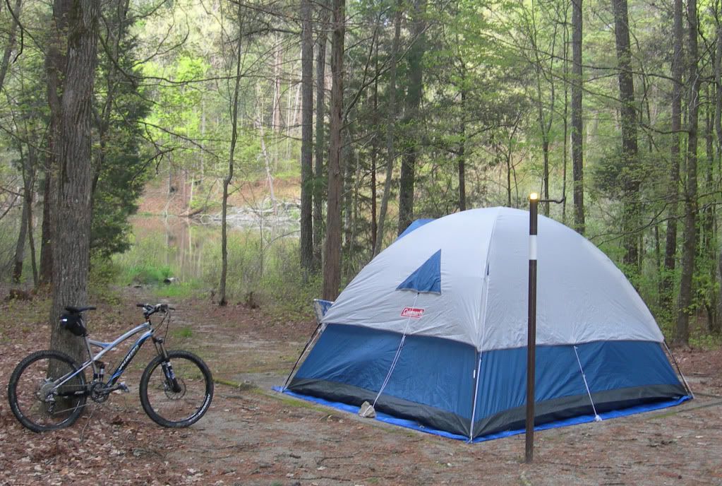
I was lucky enough to get one of the few lakeside campsites.
The “I” point on the map for the southern loop is located up in the woods beyond a couple of picnic tables, just after passing the “Campsites” sign on the way to the dam.
Quite a few blow-downs on both loops from the recent storm. The south loop is mostly used by equestrians so it is not likely to be cleared anytime soon.
Quite scenic, the “I” to “H” section of the southern loop is one of my favorites, despite the blow-downs.
The southern loop is for mountain bikers who are in no big hurry to get from here to there.
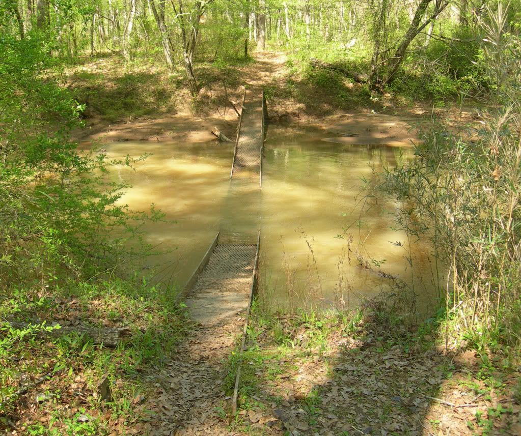
Due to rains earlier in the week, water was flowing over the top of this droopy steel bridge.
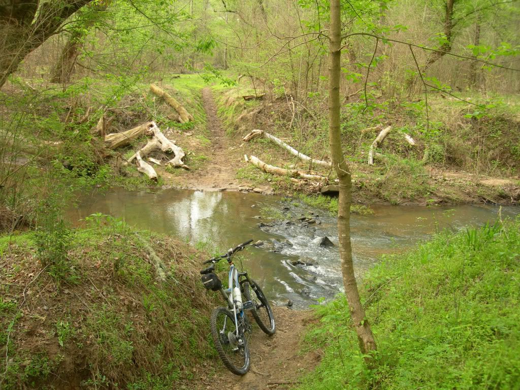
Another of several stream crossings.
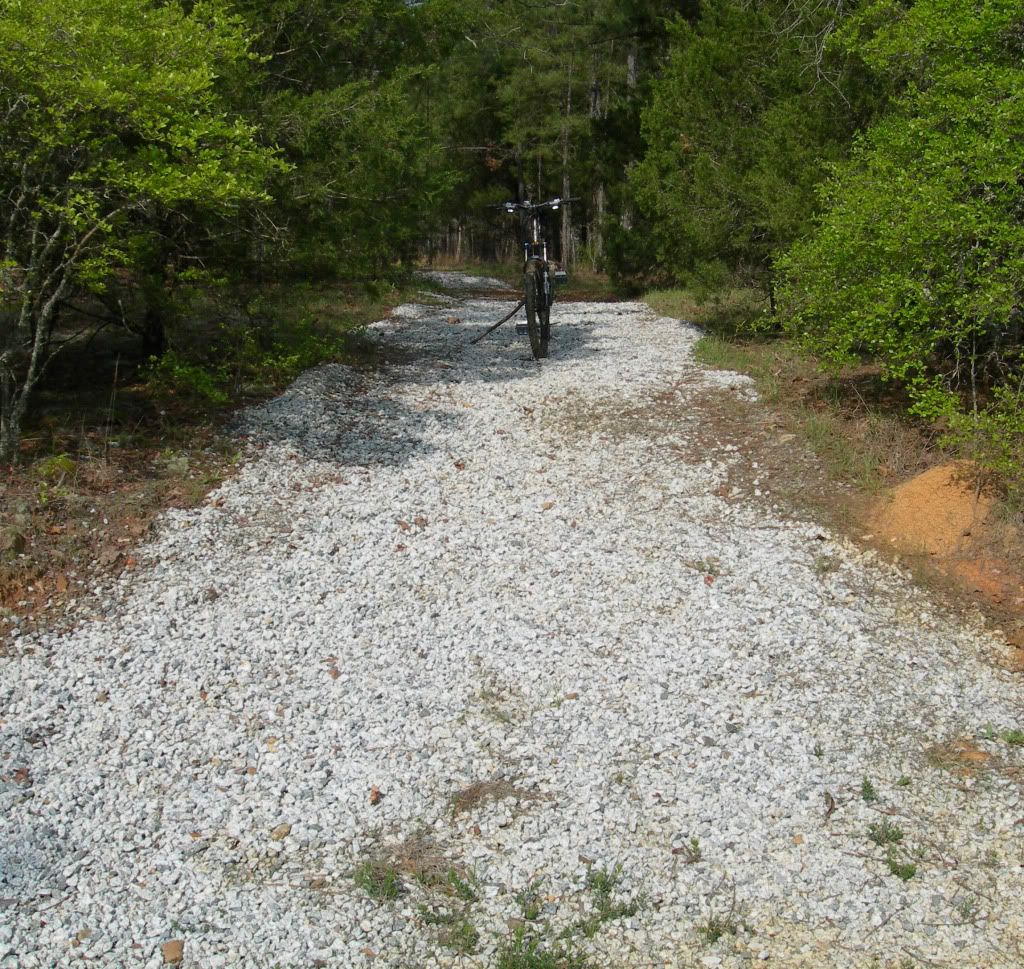
The gravel is deepest on the “Double Wide” section of the lower loop where it intersects Candy Branch Rd. Lots of heavy horse traffic in this area.
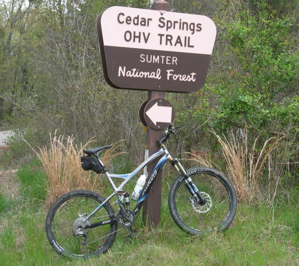
This section was directly across Candy Branch Rd from the heavily graveled section. My guess is gravel is absent here because the trail is on private land from this point to the river. This short section is easily avoided by turning left on CBR and then right on Cedar Springs Rd to the river. Go left immediately after crossing the bridge and you are back on the trail. If riding in the opposite direction, turn right on CSR and cross the bridge, then left on CBR and the continuation of the trail will be on the right.

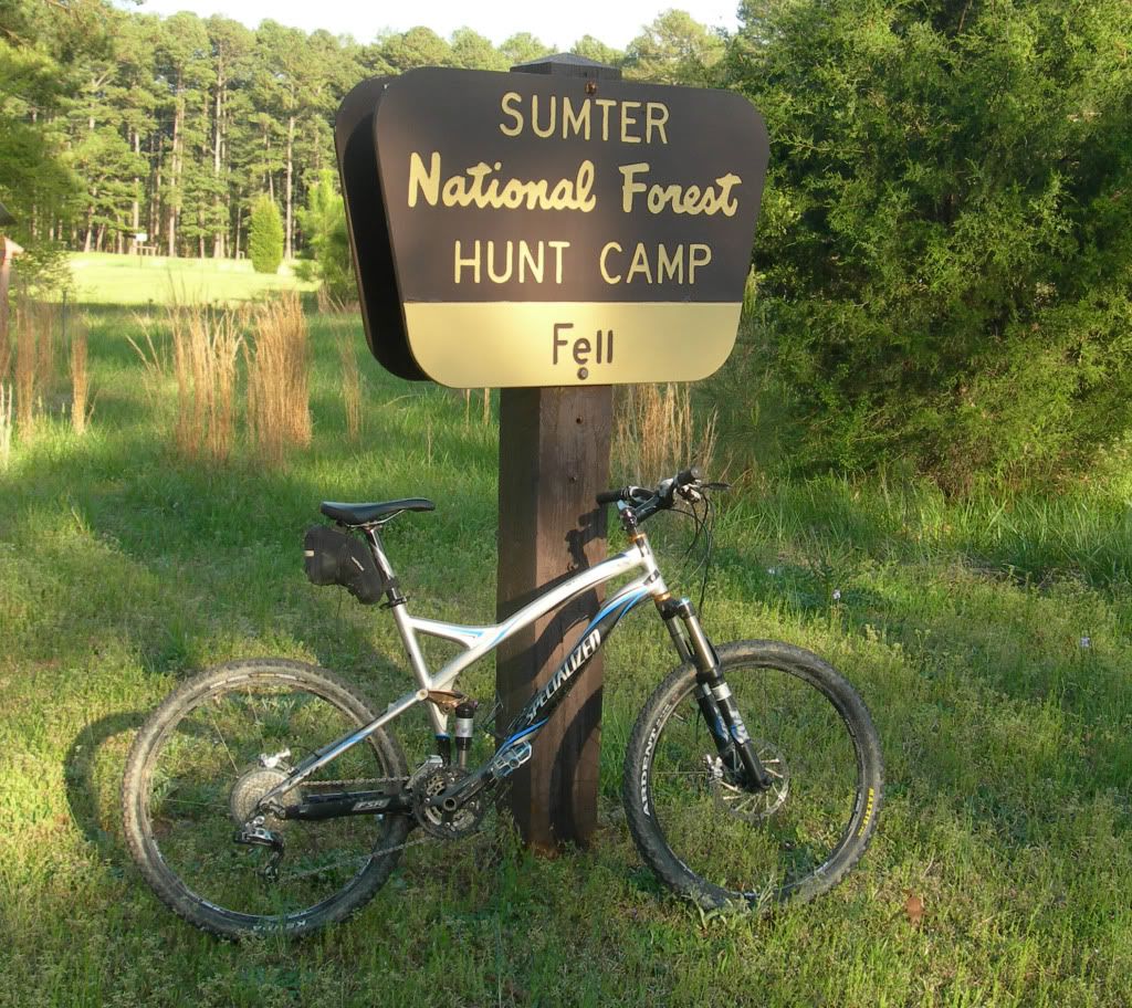
Fell Hunt Camp is where all the equestrians (and very few mountain bikers) gather. This campground is also quite popular with hunters.
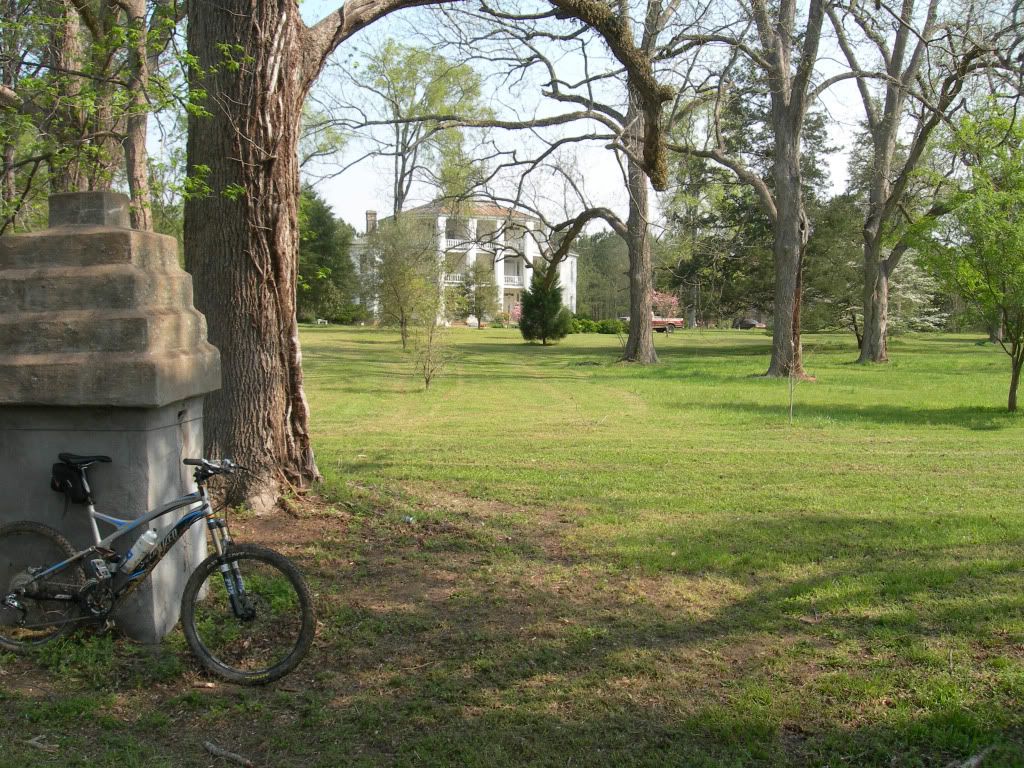
The trail runs fairly close behind this beautiful old antebellum mansion which is located a short distance from the Fell Hunt Camp. I attempted to obtain information on it from one the neighbors but she had very little to say except it was owned by “a strange old bird who did not want people on his property”.
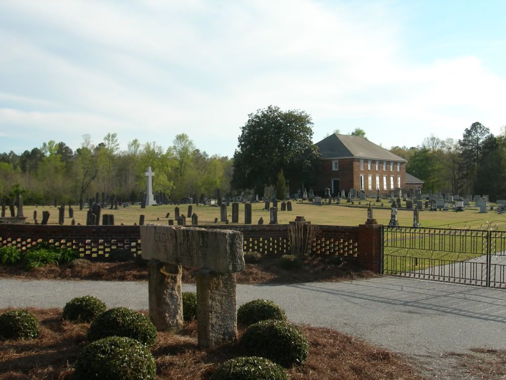
The Cedar Springs A.R.P Church is across Cedar Springs Rd from the mansion. Its first building (a log cabin) was built in 1779 and this brick church was built in 1853.
The 505/506 parking area for the north loop is on the opposite side of the road from this sign.
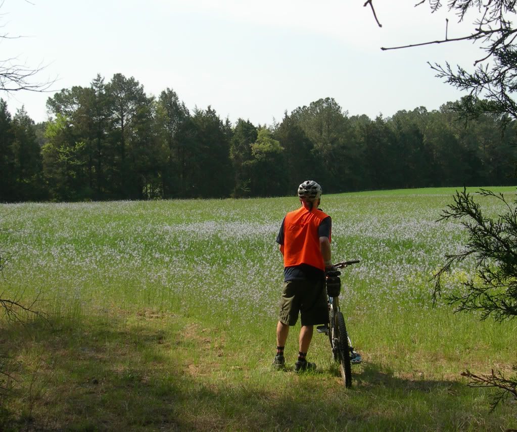
Lots of turkey hunters in the woods so it was camo for them and blaze orange me--until it became so hot I pulled it off.
First water crossing on the north loop. Upstream of the row of rocks is smooth sailing.
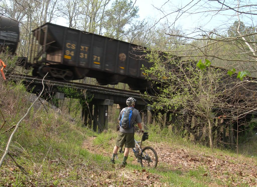
The trail passes beneath this trestle and if you inform Ashby Stokes of the time you will be there, he will arrange to have a train speed over it for a great photo opportunity. Actually, it was pure luck; moments after I had used my trusty Gorillapod to attach my camera to a tree for a shot of the trestle and me, I heard the train coming and the rest is history.
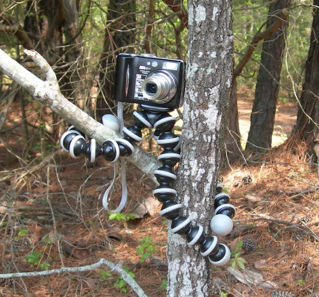
Anyone who mountain bikes alone and enjoys shooting photos cannot live happily ever after without a Gorillapod.
joby.com/store/gorillapod?gclid=COqKv82mkqgCFcgZ2godKxfwDQ
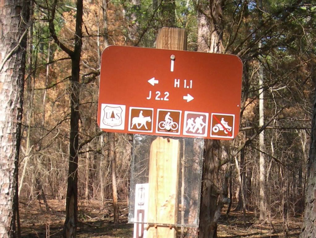
Both loops are signed and blazed (white) so well you’d have to try really hard to become lost.

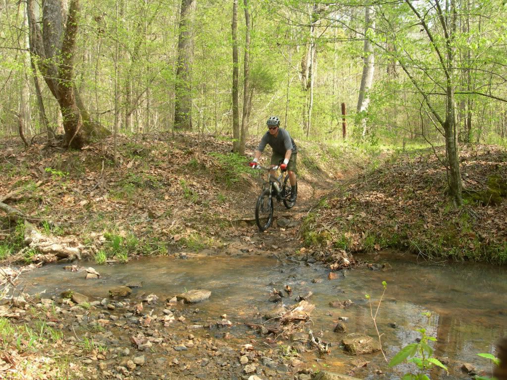
How to shoot a photo of yourself when riding solo.
A. Position bike and camera on opposite sides of stream.
B. Set camera on 10-second delay and press shutter release.
C. Race across the stream like a madman, hop aboard bike and start pedaling toward camera.
D. Hope no one is watching.
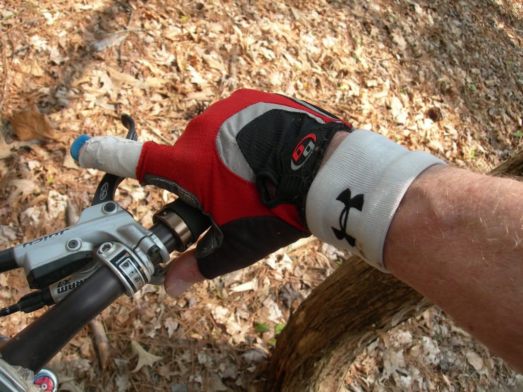
If I can ride both loops of the LCHT with a finger in a splint anyone can do it.
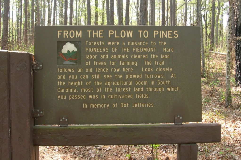
Lots of interesting history in the area.
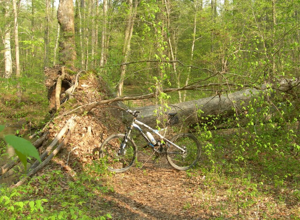
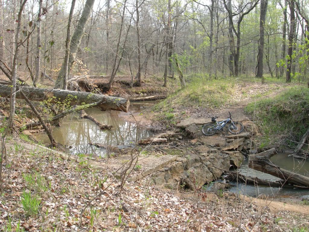
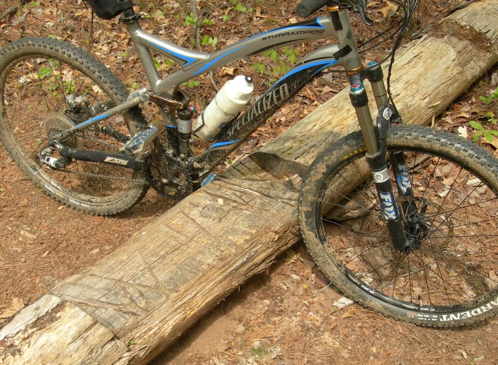
I made it over this one but it wasn’t pretty
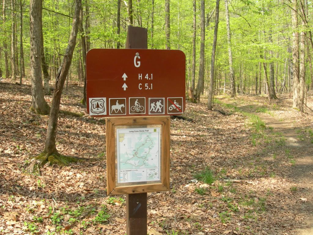
This sign is at point “G”, also known as the Big Rock parking area.
In case you are wondering.
Due to the recent wind storms I encountered numerous blow-downs on the western leg of this loop and since that section is mostly used by equestrians, I doubt if they will go to the trouble of cranking up the chainsaws. Some of the trees lying across the trail are small enough for a horse to step over and rather than removing those that are too big they simply ride around them. Even though the blow-downs required about as much walking as riding, I found the “I” to “H” section as well as from there on up to Big Rock to be one of the nicest stretches of the entire north and south loops. It’s worth the effort just to be able to say you have ridden across the drooping steel bridge. A great deal of a section of the trail is known as “Land Of The Double Wide”, not due to the size of the mobile homes in the area but because the trail is wide and covered with a thick layer of gravel. While that gave it an unnatural feel, another section that also has lots of horse traffic but no gravel clearly illustrates why it is necessary. The south loop is not for the mountain biker who prefers to bomb along manicured trails in an effort to see how quickly a ride can be completed. It is for the mountain biker who just loves being in the woods on a spring day.
On the morning of the second day I drove to the 505/506 parking area (point “E” on the map) and from there I rode the north loop counterclockwise. This is by far the most popular mountain biking launch point of the entire LCHT system. A group of area cyclists depart from here weekly at 6:00 PM on Tuesday and at 2:00 PM on Sunday. I had planned to hook up with them for the Sunday afternoon ride but it simply did not work out for me. To get there from Abbeville, head toward Greenwood on Hwy 72 and turn right at Beulah Baptist Church (6.2 miles from Abbeville). Travel on Beulah Church Rd for 1.7 miles and the parking area is on the right at the intersection of FS505 & FS506.
The north loop is really what mountain biking in that part of South Carolina is all about. There were some blow-downs from the recent storm but considering how beautifully the trail is maintained by area cyclists, I doubt if they will be there for very long. The trails were in great shape and obviously drain water quite well. It had rained four or five days before I was there and yet the only wet dirt I encountered was in a few short sections where horses had torn up the trail; otherwise everything was quite dry. Mountain bikers of all skill levels can enjoy this one. No serious technicals to speak of but enough whoops, switchbacks and short climbs to keep the intermediate level rider smiling. For the most part it is easy enough for the beginner. The 505/506 parking area is only about 1-1/2 hours from Greenville and Augusta and probably all of 20 minutes from Greenwood.
For a printable map of LCHT go to web.mac.com/ashby_stokes/Greenwoodmtb/Printable_Map.html
For additional information go to www.greenwoodmtb.com
The southern loop is accessible from Parsons Mountain but it is about a 10-mile drive to the 505/506 parking area for the north loop.
I was lucky enough to get one of the few lakeside campsites.
The “I” point on the map for the southern loop is located up in the woods beyond a couple of picnic tables, just after passing the “Campsites” sign on the way to the dam.
Quite a few blow-downs on both loops from the recent storm. The south loop is mostly used by equestrians so it is not likely to be cleared anytime soon.
Quite scenic, the “I” to “H” section of the southern loop is one of my favorites, despite the blow-downs.
The southern loop is for mountain bikers who are in no big hurry to get from here to there.
Due to rains earlier in the week, water was flowing over the top of this droopy steel bridge.
Another of several stream crossings.
The gravel is deepest on the “Double Wide” section of the lower loop where it intersects Candy Branch Rd. Lots of heavy horse traffic in this area.
This section was directly across Candy Branch Rd from the heavily graveled section. My guess is gravel is absent here because the trail is on private land from this point to the river. This short section is easily avoided by turning left on CBR and then right on Cedar Springs Rd to the river. Go left immediately after crossing the bridge and you are back on the trail. If riding in the opposite direction, turn right on CSR and cross the bridge, then left on CBR and the continuation of the trail will be on the right.
Fell Hunt Camp is where all the equestrians (and very few mountain bikers) gather. This campground is also quite popular with hunters.
The trail runs fairly close behind this beautiful old antebellum mansion which is located a short distance from the Fell Hunt Camp. I attempted to obtain information on it from one the neighbors but she had very little to say except it was owned by “a strange old bird who did not want people on his property”.
The Cedar Springs A.R.P Church is across Cedar Springs Rd from the mansion. Its first building (a log cabin) was built in 1779 and this brick church was built in 1853.
The 505/506 parking area for the north loop is on the opposite side of the road from this sign.
Lots of turkey hunters in the woods so it was camo for them and blaze orange me--until it became so hot I pulled it off.
First water crossing on the north loop. Upstream of the row of rocks is smooth sailing.
The trail passes beneath this trestle and if you inform Ashby Stokes of the time you will be there, he will arrange to have a train speed over it for a great photo opportunity. Actually, it was pure luck; moments after I had used my trusty Gorillapod to attach my camera to a tree for a shot of the trestle and me, I heard the train coming and the rest is history.
Anyone who mountain bikes alone and enjoys shooting photos cannot live happily ever after without a Gorillapod.
joby.com/store/gorillapod?gclid=COqKv82mkqgCFcgZ2godKxfwDQ
Both loops are signed and blazed (white) so well you’d have to try really hard to become lost.
How to shoot a photo of yourself when riding solo.
A. Position bike and camera on opposite sides of stream.
B. Set camera on 10-second delay and press shutter release.
C. Race across the stream like a madman, hop aboard bike and start pedaling toward camera.
D. Hope no one is watching.
If I can ride both loops of the LCHT with a finger in a splint anyone can do it.
Lots of interesting history in the area.
I made it over this one but it wasn’t pretty
This sign is at point “G”, also known as the Big Rock parking area.
In case you are wondering.


