|
|
Post by dgaddis1 on Apr 3, 2011 16:57:57 GMT -5
Modoc is awesome right now. A few wet spots, but nothing major. All the bridges are still in place after all that rain last week.
ALL OF THE DOWNED TREES ARE RIDERS! Please no one cut them out!!
There's one non-rider that's partially on the trail that could stand to get cut, but it's not worth hauling a chainsaw out there just for it.
|
|
|
|
Post by Angela on Apr 3, 2011 23:06:31 GMT -5
We also rode Modoc today, it has definitely been awhile but back when I had more time this was one of my favorite trails! The trail is in great condition - we started our ride late in the day so had to turn around at the 4 mile bridge but there were only 7 or 8 squishy spots in that 4 miles and riders have been riding them correctly (straight through the middle) so they are great until we can get some work done or the water level drops a little. If you are in town this week and want to ride a great trail in excellent condition head to Modoc. Here are the directions: Head north on Fury's Ferry road (turns to 28 as you cross into South Carolina) at that point it is about 12 miles to the town of Modoc and at that point you will turn right on 23 and go about a mile and a third to the Modoc trailhead on the left (paved parking area). This trail can even be ridden by novice riders - there will be a few places they will want to dismount but this is a high intermediate trail for this area so those stops will probably be welcomed.  When our sons were young the oldest and Daniel would head to ride and the youngest and I would occasionally hike the trail. Everyone did their thing for a prescribed amount of time (30 minutes, 45 or an hour) and then headed back. That insured we'd all arrive back at the car at about the same time. It's a great in/out trail about 6 miles long, some challenges for more advanced riders but the terrain is beautiful and is great for hikers or advanced beginners as well. 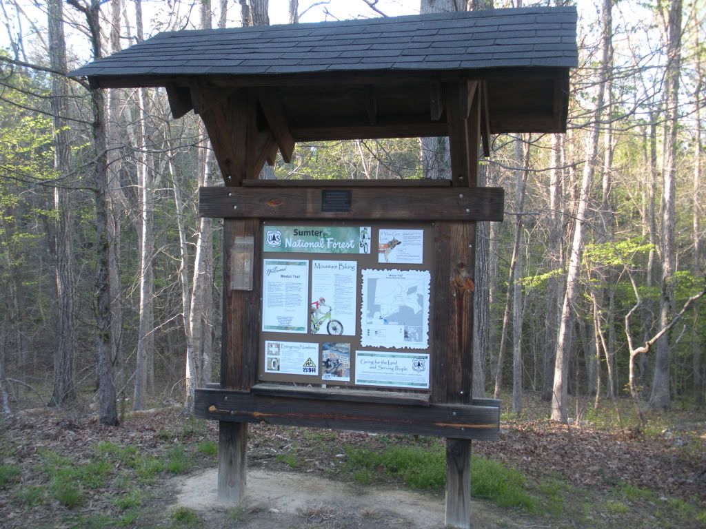 Modoc Kiosk 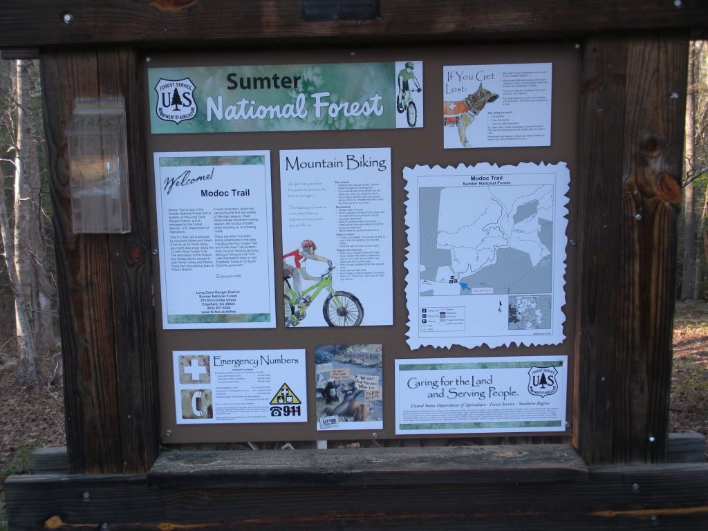 Modoc Kiosk  Looking upstream at the first stream crossing 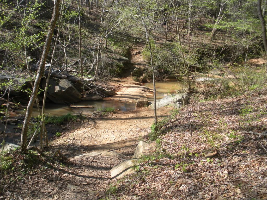 First stream crossing 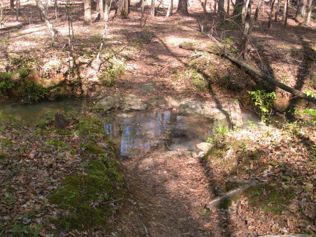 Second stream crossing 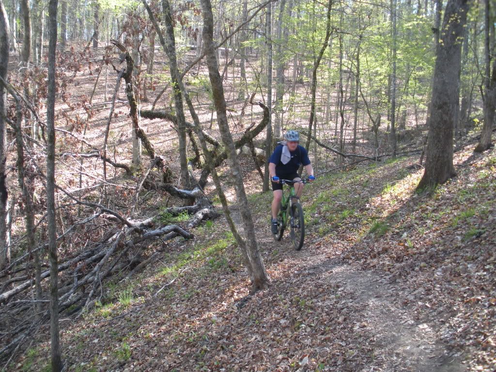 Daniel says the new 29er climbs better than the Heckler 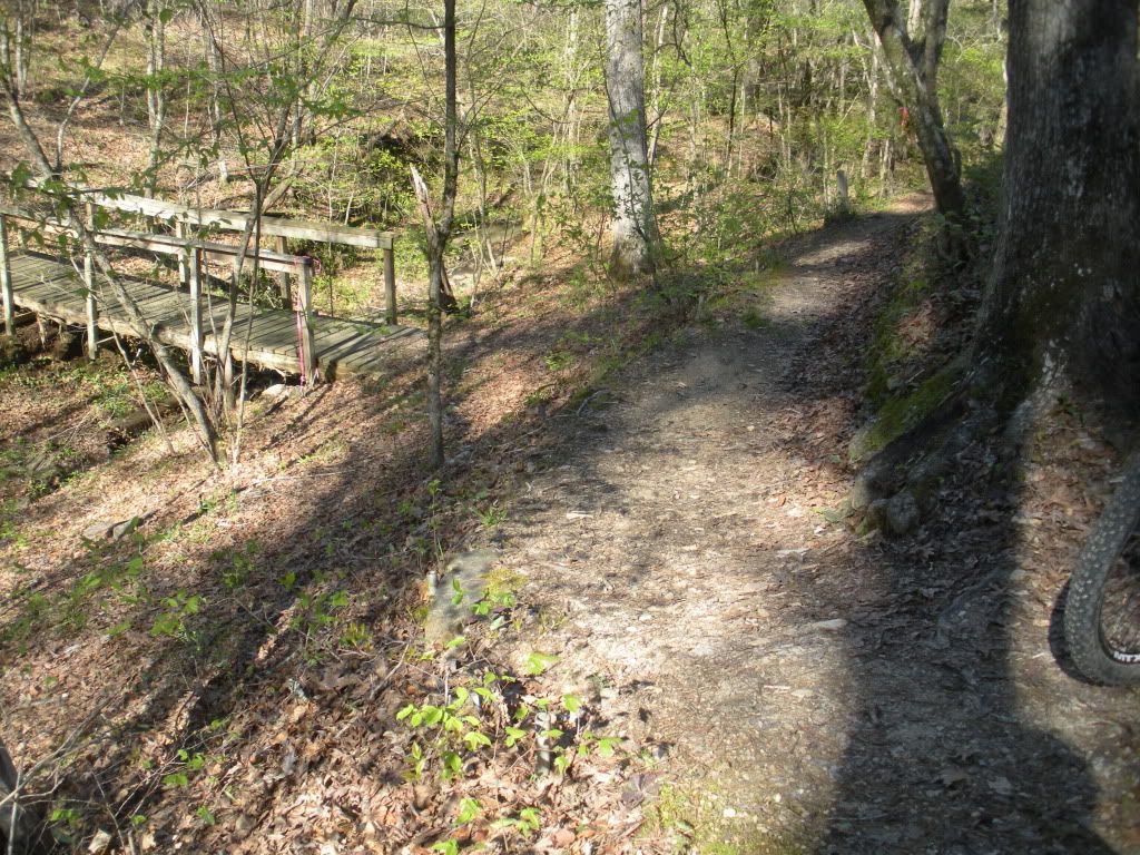 Bridge to nowhere - do not cross it - continue on down the trail! 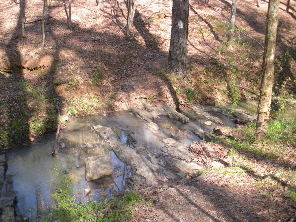 Jaws (3rd stream crossing) 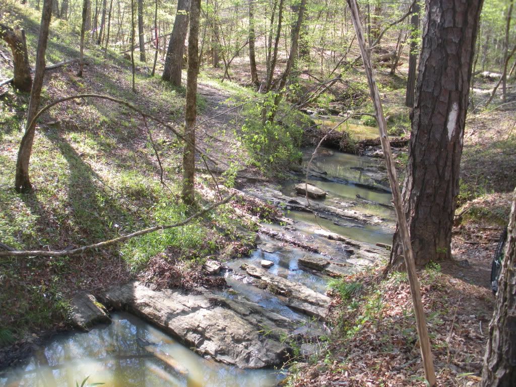 Jaws (view heading back toward trailhead) 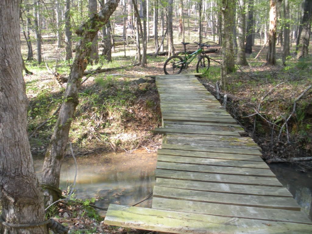 4 mile bridge - our turnaround point today! 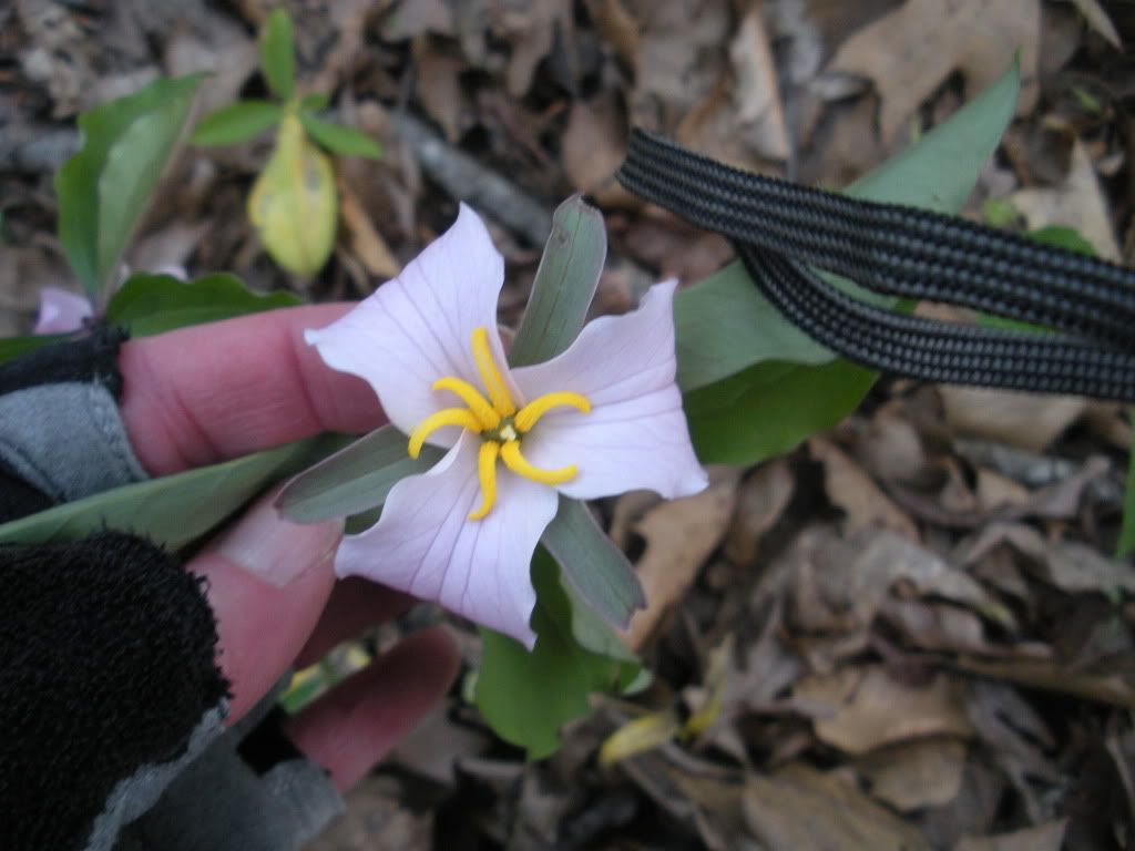  These photos might pique the interest of a hiker or two, or maybe someone that hasn't ridden the trail before but for some great action shots check out the rider's pictures section for some fantastic action photography out on Modoc today! Don't miss out on this great trail. Even with the rain early on Tuesday this trail should be fine 24 or 48 hours after if we don't get too much. |
|
|
|
Post by Angela on Apr 4, 2011 5:38:41 GMT -5
Just for clarity, if you are from out of town the directions above are from Augusta/Martinez/Evans areas! |
|
|
|
Post by rsmith on Apr 4, 2011 6:56:21 GMT -5
Avoiding CSRA until post-Masters, but out-of-towner question on Modoc;
When you ride to the end, trail climbs a hill - exit appears to be an old forest dbl-track - angling left at the junction. Tread shows continuation - connector to Wine / Turkey ? Is there a detailed map in a forum thread showing detail of this specific connection - know the loop ride maps have been posted, but I'd like to limit (miles) and do the extension to Modoc & Wine & back - or M-Turk & back - starting at Modoc TH of course. Does the extension remain on public property - or do you have to cross a private section ?
Agree - good trail - especially enjoyed the winter - early Mach rides without leaves - to enjoy the overlook off the cliffs to Stevens....
|
|
|
|
Post by dgaddis1 on Apr 4, 2011 7:20:08 GMT -5
|
|
|
|
Post by rsmith on Apr 4, 2011 7:28:35 GMT -5
Thanks. Map link does not appear to detail the trail, but displays the road connectors well. I had thought there was a trail connection to from the northern end of Modoc (continuing past the "trun-around" point) ? Directions will prevent me using any of your local rescue resources.......  .... appreciate the mileage as well - right in my target zone... |
|
|
|
Post by dgaddis1 on Apr 4, 2011 14:47:42 GMT -5
At the end of modoc proper, where most folks turnaround, the trail tees into a doubletrack. Turn left and go up the doubletrack (there's a carsonite post there with an arrow pointing you in the right direction). Near the top of the hill you'll turn left off the doubletrack onto some singletrack, which will then bear back to the right going towards the powerlines. It will go out into the edge of the powerlines, then hook left back into the woods. Don't go across the powerlines; more carsonite posts here to point you in the right direction. Keep following the path a little ways and it'll put you out into a FS road cul-de-sac.
|
|


