|
|
Post by dsquaredmsquared on Dec 17, 2010 18:23:47 GMT -5
Rode Keg and Mistletoe today and, in the process, mapped the back door to Mistletoe. The trail out is decent double track that I was able to ride the whole way out - not too steep, not too rutted, not too rooted. Here is the Google map < goo.gl/17blp> showing the this exit (yellow) compared to the one used during the Thurmond Epic 1.0 (orange): 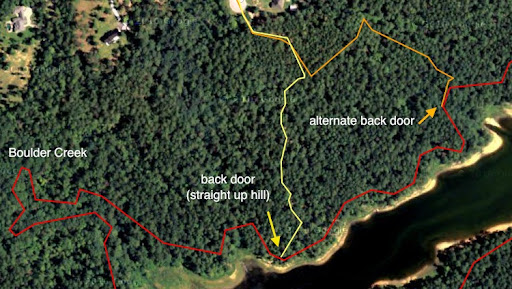 This is a picture of the trail at the exit (riding cw): 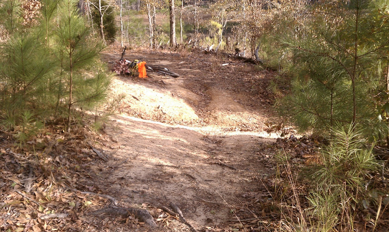 This picture is looking up the double track to the exit. It is not as bad as it looks. 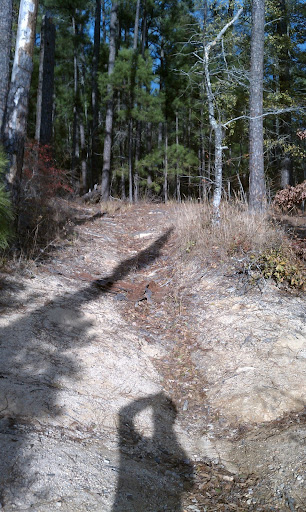 25 miles and change for the round trip of Keg and Mistletoe. |
|
|
|
Post by dparrott on Dec 18, 2010 18:43:29 GMT -5
The yellow line is the usual line - I pull the BOB with chainsaw up this with no problem - just have to watch the line. There's one or two variations on the orange line. I plan to try and negotiate re-opening the Boulder Creek option with the new landowner this Winter.
|
|


