Post by stumpbumper on Jan 9, 2011 15:37:51 GMT -5
When completed, The Palmetto Trail will consist of 425 miles of multiple-use trails running across South Carolina from the North Carolina border to the Atlantic ocean---see this website www.palmettoconservation.org/maps.asp The trail is being built in phases called “passages” with close to 300 miles now open. Yesterday we rode section 3 of the Enoree passage mainly because we had never done it but also to check it out for a possible bikepacking trip later in the year. At 35.8 miles which consists of three sections of approximately 12 miles each, Enoree is the second longest passage (Swamp Fox in Francis Marion Nat Forest is longest at 47 miles). We rode section 3 which begins at Sedalia Campground near Cross Anchor.
We found the beginning of the trail to be a bit confusing. A short distance from the campground the trail intersects hard-surfaced Bombing Range Rd. and we assumed it continued on a fire road directly across it. Five miles later we finally decided we were wrong and turned back for a fresh start. As we discovered, the route goes left on Bombing Range Rd, then turns right on Old Buncombe Rd (at the church). About 50 yards beyond that turn (just beyond the house) a signpost on the left side of the road marks the continuation of the dirt trail. In other words, the route contains about 0.8 mile of hard surface road near its beginning with the yellow blazes on power line poles rather than on trees beside the road. The confusion ends there because the trail is well marked with signposts and yellow tree blazes spaced only about 50 yards apart.
The rest of the ride was clear sailing but quite slow (5.4 MPH average), mainly due to the number of trees and large limbs lying across the trail along with the fact that a thick carpet of leaves hid the trail from view. Also hidden beneath the leaves were rocks, roots, snags and the occasional stump hole to keep us awake. A number of climbs that were too steep to ride also slowed us down a bit. Those who prefer to bomb along clean, manicured trails will hate PT but those who enjoy going primitive as all mountain bikers used to have to do will enjoy the entire experience.
The three major waters crossings are bridged and the smaller ones that are not are only three to four inches deep and quite narrow. The computer on my bike checked out quite closely with the mileage points shown on the maps so you can believe the map when it says close to 25 miles total for a there-and-back on section 3. Maps of the three sections are available here.
www.palmettoconservation.org/maps/enoreewebmap3.pdf
www.palmettoconservation.org/maps/enoreewebmap2.pdf
www.palmettoconservation.org/maps/enoreewebmap1.pdf
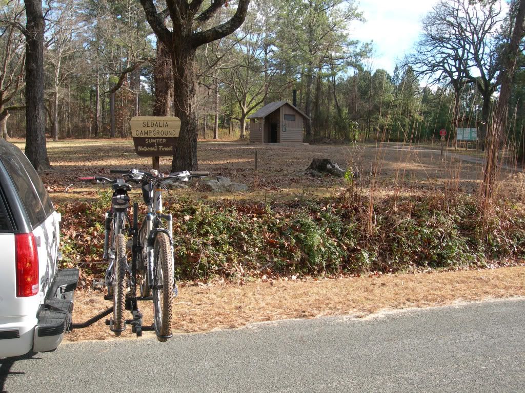
As you turn into Sedalia Campground, pay parking is to the left but free parking is in the large open field just behind the information sign. Trailhead sign is at the backside of that field. Water and very nice toilets are there.
The trail is adequately marked with signs and yellow blazes.
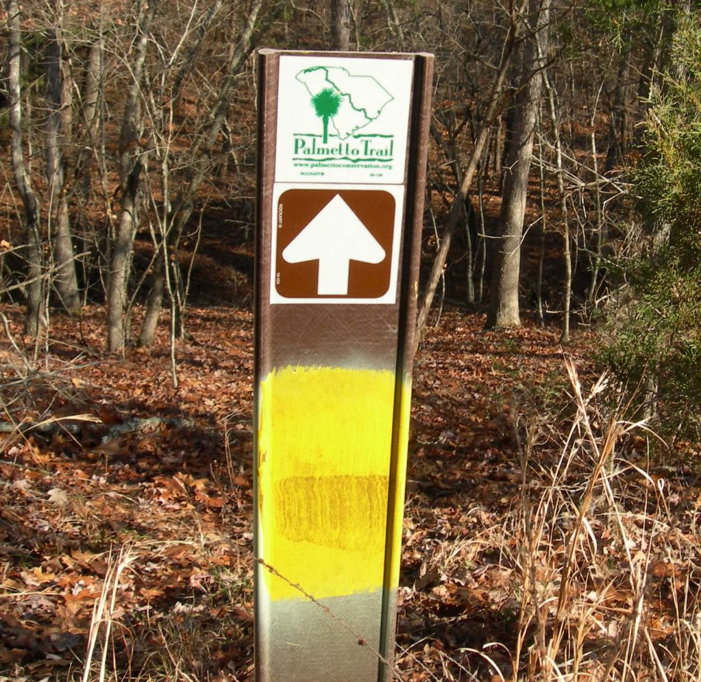
Like I said before-----

Johns Creek Lake is the first of four lakes you will see

If not for yellow blazes every 50 yards or so the trail would be extremely difficult to follow. Section 1 is about 50/50 single track and fire roads
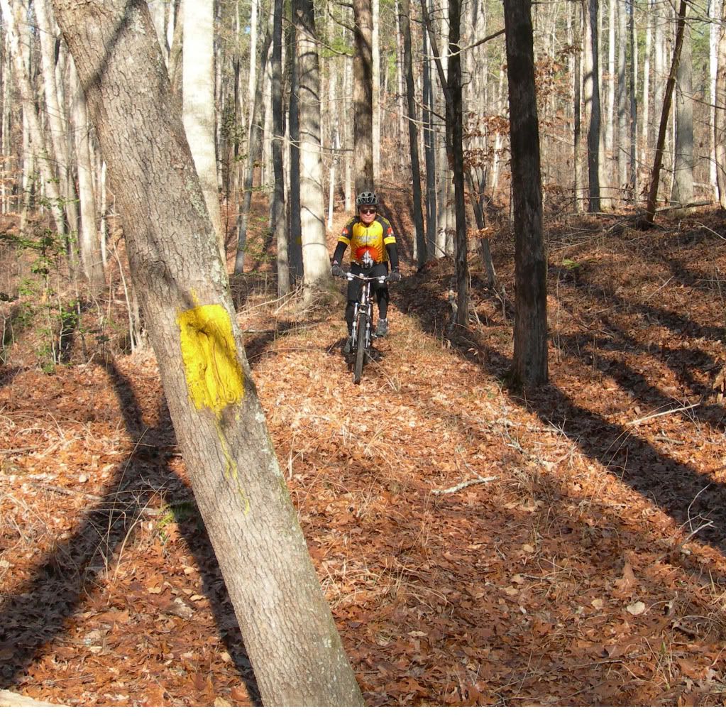
The fire roads are a bit overgrown in places but considerably faster than the single track

All major streams are bridged. This one across Johns Creek was made totally of some type of synthetic material that has the appearance of fiberglass. Very nice!

This boardwalk at about the 8-mile point on the trail is about 300 feet long and extends across a marshy area to the foot of a steel bridge spanning the Enoree River.
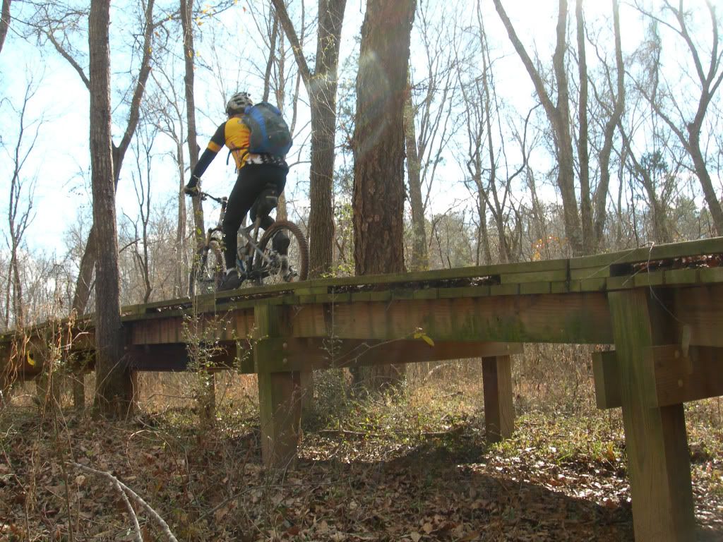
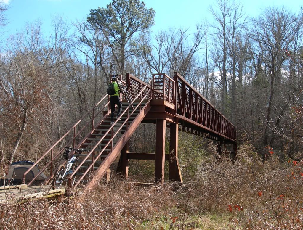
The Enoree River bridge is quite impressive and considering its location, was probably incredibly expensive to build
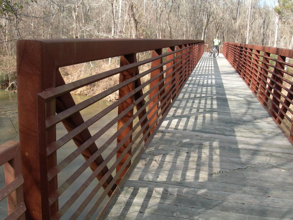
Another shot of the ER bridge
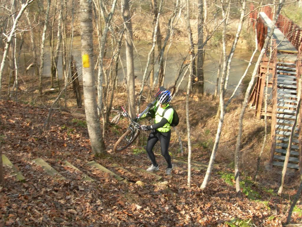
There are a few climbs but only this one had steps
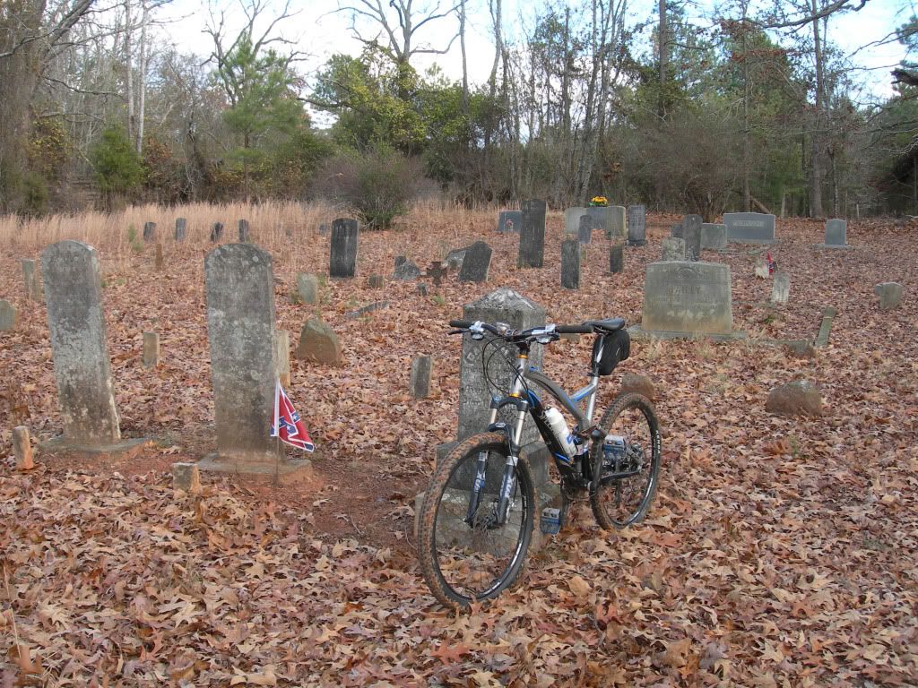
All in all, a very peaceful ride through some very nice country
We found the beginning of the trail to be a bit confusing. A short distance from the campground the trail intersects hard-surfaced Bombing Range Rd. and we assumed it continued on a fire road directly across it. Five miles later we finally decided we were wrong and turned back for a fresh start. As we discovered, the route goes left on Bombing Range Rd, then turns right on Old Buncombe Rd (at the church). About 50 yards beyond that turn (just beyond the house) a signpost on the left side of the road marks the continuation of the dirt trail. In other words, the route contains about 0.8 mile of hard surface road near its beginning with the yellow blazes on power line poles rather than on trees beside the road. The confusion ends there because the trail is well marked with signposts and yellow tree blazes spaced only about 50 yards apart.
The rest of the ride was clear sailing but quite slow (5.4 MPH average), mainly due to the number of trees and large limbs lying across the trail along with the fact that a thick carpet of leaves hid the trail from view. Also hidden beneath the leaves were rocks, roots, snags and the occasional stump hole to keep us awake. A number of climbs that were too steep to ride also slowed us down a bit. Those who prefer to bomb along clean, manicured trails will hate PT but those who enjoy going primitive as all mountain bikers used to have to do will enjoy the entire experience.
The three major waters crossings are bridged and the smaller ones that are not are only three to four inches deep and quite narrow. The computer on my bike checked out quite closely with the mileage points shown on the maps so you can believe the map when it says close to 25 miles total for a there-and-back on section 3. Maps of the three sections are available here.
www.palmettoconservation.org/maps/enoreewebmap3.pdf
www.palmettoconservation.org/maps/enoreewebmap2.pdf
www.palmettoconservation.org/maps/enoreewebmap1.pdf
As you turn into Sedalia Campground, pay parking is to the left but free parking is in the large open field just behind the information sign. Trailhead sign is at the backside of that field. Water and very nice toilets are there.

The trail is adequately marked with signs and yellow blazes.

Like I said before-----

Johns Creek Lake is the first of four lakes you will see

If not for yellow blazes every 50 yards or so the trail would be extremely difficult to follow. Section 1 is about 50/50 single track and fire roads

The fire roads are a bit overgrown in places but considerably faster than the single track

All major streams are bridged. This one across Johns Creek was made totally of some type of synthetic material that has the appearance of fiberglass. Very nice!

This boardwalk at about the 8-mile point on the trail is about 300 feet long and extends across a marshy area to the foot of a steel bridge spanning the Enoree River.

The Enoree River bridge is quite impressive and considering its location, was probably incredibly expensive to build

Another shot of the ER bridge

There are a few climbs but only this one had steps

All in all, a very peaceful ride through some very nice country


